Ultimate Guide to Utility Mapping Solutions for Safe Excavation
Understanding Utility Mapping Solutions
Excavation projects, whether for construction, landscaping, or infrastructure development, require careful planning and execution. One of the critical aspects to consider is the presence of underground utilities. Cutting through buried pipes or cables can lead to costly repairs, project delays, and even safety hazards. This is where utility mapping solutions play an essential role. By identifying and mapping out underground utilities, project managers can ensure safe and efficient excavation.
Utility mapping involves using various technologies and methods to detect and document the location of underground services such as water pipes, gas lines, electrical cables, and telecommunications networks. These solutions help minimize risks and enhance the overall safety of excavation projects.

Technologies Used in Utility Mapping
Several advanced technologies are used to provide accurate utility mapping solutions. These include:
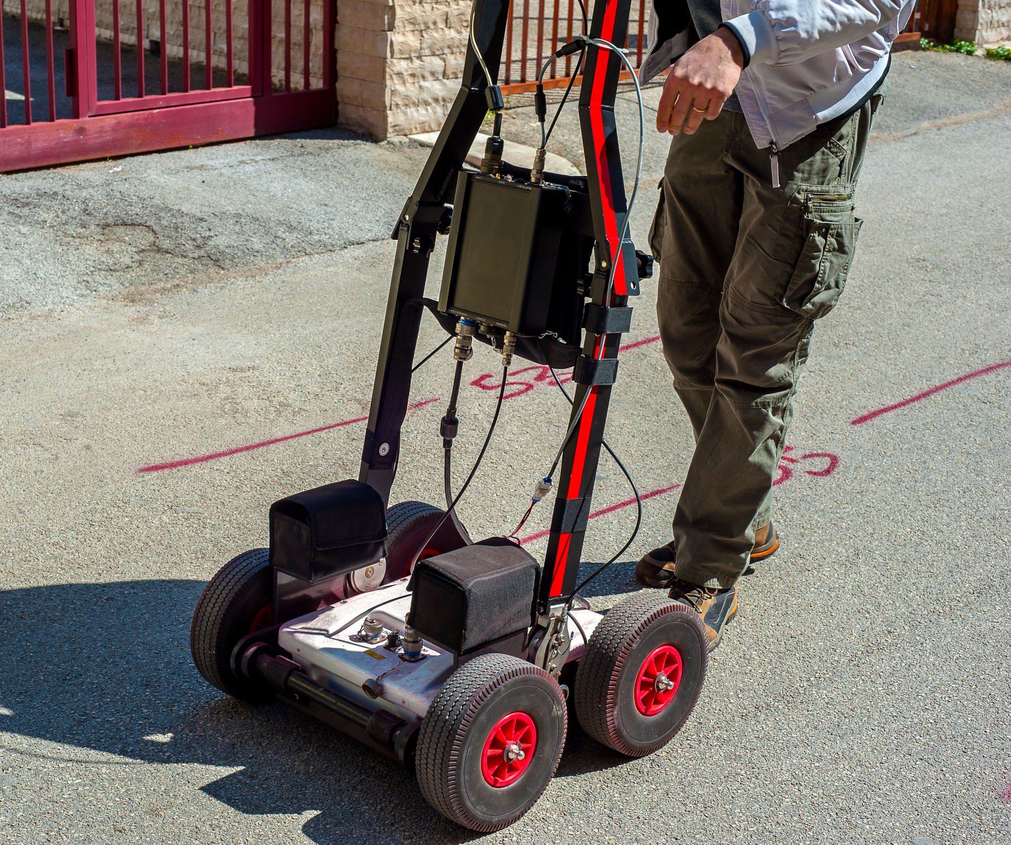
- Ground Penetrating Radar (GPR): GPR uses electromagnetic radar pulses to detect buried objects. It is particularly effective for identifying non-metallic utilities such as plastic pipes.
- Electromagnetic Location (EML): EML detects metallic utilities by using a transmitter and receiver to trace the path of underground cables and pipelines.
- Acoustic Location: This method uses sound waves to detect pipe leaks or locate non-metallic utilities where other methods might not be effective.

The Importance of Accurate Utility Mapping
Accurate utility mapping is crucial for preventing potential accidents and ensuring compliance with regulations. By having a detailed map of underground utilities, contractors can avoid damaging existing infrastructure, which could lead to service disruptions or hazardous situations.
Furthermore, precise utility mapping contributes to the efficient allocation of resources and reduces unnecessary excavation work. This not only saves time and money but also minimizes the environmental impact of construction activities.

Choosing the Right Utility Mapping Provider
Selecting a reliable utility mapping provider is essential for the success of any excavation project. Consider the following factors when making your choice:
- Experience and Expertise: Choose a provider with a proven track record in utility mapping and a team of skilled professionals.
- Technology and Equipment: Ensure that the provider uses state-of-the-art equipment and technology to deliver accurate results.
- Comprehensive Services: Look for a provider that offers a range of services, from initial detection to detailed mapping and reporting.
Best Practices for Safe Excavation
In addition to utilizing utility mapping solutions, adhering to best practices for safe excavation is vital. Here are some tips to ensure a secure digging process:
- Always conduct a thorough site assessment before beginning any excavation work.
- Use proper signage and barriers to keep unauthorized personnel away from the site.
- Regularly update utility maps to reflect any changes in infrastructure over time.

The Future of Utility Mapping
As technology continues to advance, the future of utility mapping looks promising. Emerging innovations such as augmented reality (AR) and machine learning are expected to enhance the accuracy and efficiency of utility detection and mapping processes.
These innovations will not only improve safety standards but also streamline project management in the construction industry. By embracing these technologies, companies can stay ahead of the curve and ensure that their excavation projects are both safe and successful.
