
For Engineers & Surveyors

Design Around What Is There, Not What Was Drawn.

Record drawings are a hypothesis. Field designating is how it gets tested. We produce utility data at a stated quality level, in formats that carry into your drawing set instead of dying as paint on a job site.

Engineer and field technician reviewing site plans together
Quality Levels StatedSo the risk in the data is visible, not assumed
QL-BField designating
QL-ATest hole verification
CoordinatesData your team can import
Same-day or next-day mobilization
PDF maps & KMZ deliverables included
Private utility locating beyond 811 coverage
The Economics

A conflict found in design costs a redraw. Found in the field, it costs a change order.

Utility conflicts do not get cheaper with time. Discovered during design, a conflict is a line moved on a sheet. Discovered during construction, it is a stopped crew, an RFI, a redesign, and a claim.

The information that prevents that is not exotic. It is knowing where the existing utilities actually run, at a quality level you can defend, before the set is final.

  • Utility conflict analysis during design
  • Existing conditions verified against record drawings
  • Designated positions collected with GPS in the field
  • Measured depths at crossings where clearance is tight
  • Discrepancies documented rather than silently corrected
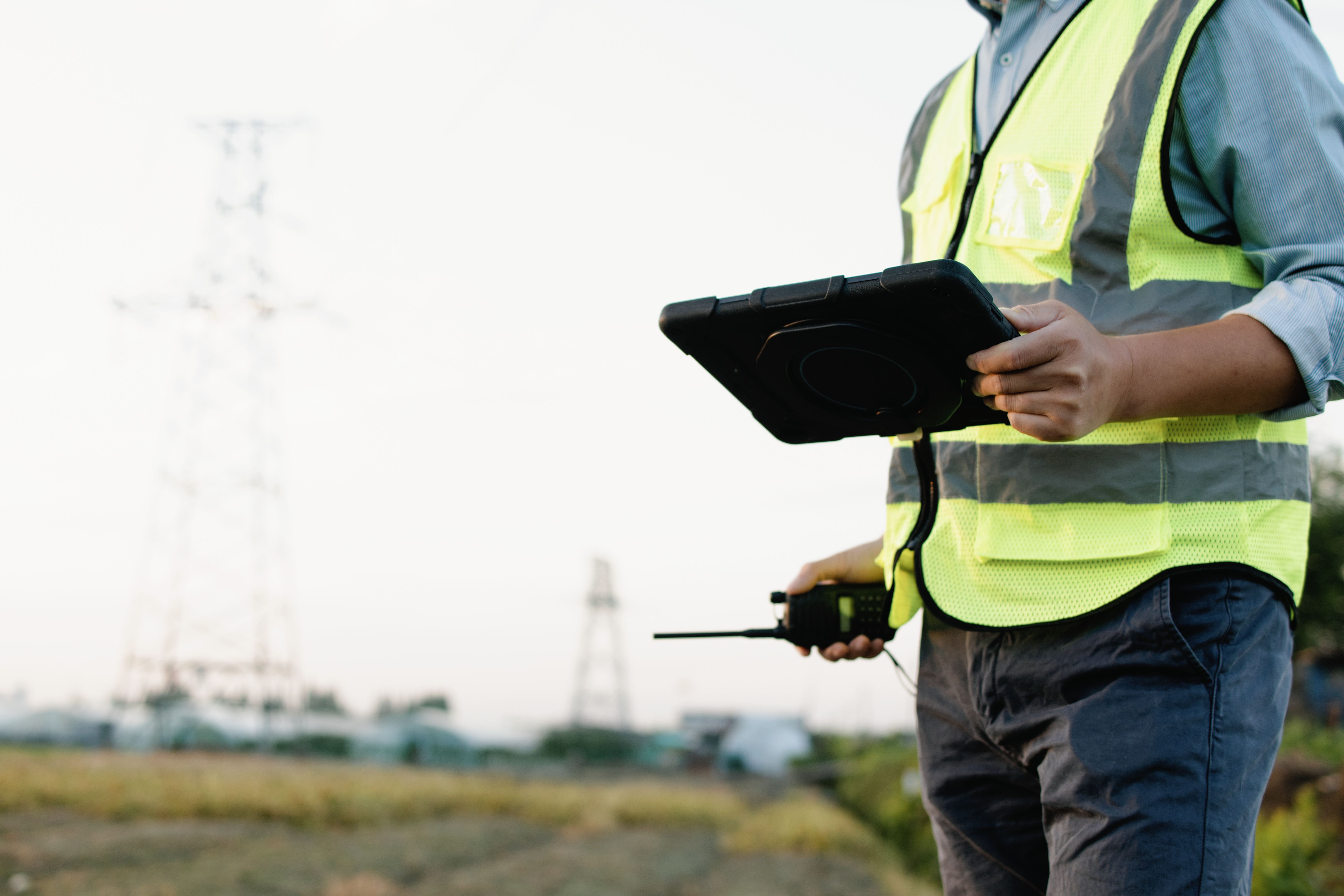
Utility locating technician recording field data on a tablet
Deliverables

Built to Carry Into Your Workflow

The test of a deliverable is whether your team can use it without calling us.

Georeferenced Utility Map

PDF exhibit and KMZ tied to real coordinates, color-coded by utility type with a legend.

Learn more →

Coordinate Data

Point and line data in the coordinate system your project uses, when you need it in CAD or GIS.

Stated Quality Levels

Utility information labeled by how it was obtained, so nobody treats a record-drawing line as a verified one.

Learn more →
EM+GPR
Dual-method locating on every scope
PDF/KMZ
Maps & GPS data included
5 Metros
Austin, Dallas, Houston, Fort Worth, San Antonio
5.0★
Average Google review rating
Common Questions

Engineering & Survey Questions

Is this a survey?
No. A survey is performed by a licensed surveyor to a different standard of accuracy and liability. We locate and designate utilities and document their positions with GPS, which supports design, coordination, and conflict analysis.
What quality level should we specify?
It depends what the information supports. Preliminary routing often works at QL-C or QL-D. Final design near existing utilities usually needs QL-B. Crossings with tight clearance usually need QL-A test holes.
Can you deliver in our coordinate system?
Tell us the coordinate system and datum before we mobilize and we will collect and deliver in it.
Will you work from our existing record drawings?
Yes, and it makes the work better. Existing records give us a hypothesis to confirm or correct, and we document where the field disagreed with the paper.
Do you provide sealed deliverables?
Sealing requirements vary by project and by how the deliverable will be used. Tell us what your scope requires up front so we can confirm what we can provide before you rely on it.
Can you support us during construction too?
Yes. Design-phase designating and construction-phase locating are different scopes, and plenty of projects need both.

Designing near existing utilities?

Send the site and the design phase. We will recommend the quality level that actually fits the decision.

Send the Address & Scope
Get in Touch

Ready to scope utility investigation?

Send the project location, the design phase, the coordinate system, and the quality level your scope calls for.

Austin, TX & statewide Texas coverage
QL-B designating and QL-A test holes
Deliverables built for design teams