
Utility Locating in Fort Worth, TX
Fort Worth projects often run into congested utility corridors, roadway crossings, aging infrastructure, and incomplete utility records. SiteTwin combines EM locating, GPR scanning, and GPS/GIS mapping to help contractors reduce utility strikes and plan excavation with confidence across Tarrant County.
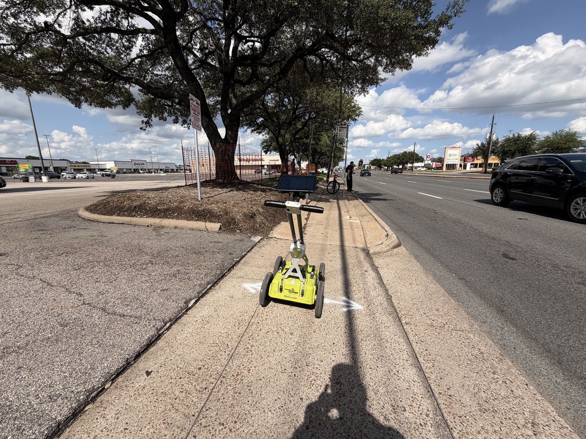
Subsurface Utility Mapping in Fort Worth
Fort Worth sits on the same Blackland Prairie clay belt that runs through North Texas, and that ground moves. Expansive clay shifts with the seasons, cracks pavement, and lets buried lines settle at depths that do not match the original plans. Add in downtown Fort Worth's congested utility corridors, frequent roadway and rail crossings, aging infrastructure in older neighborhoods, and utility records that are often incomplete, and locating gets harder the closer you get to the urban core.
- Expansive clay soil that shifts buried lines away from their recorded depth and location.
- Congested downtown corridors with gas, electric, water, and telecom lines running in tight parallel runs.
- Frequent roadway, highway, and rail crossings that require traffic control and coordination.
- Older neighborhoods near downtown and the Stockyards where utility records are incomplete or missing.
- Active growth corridors like Alliance where new and legacy infrastructure overlap.

Services We Provide Across Fort Worth & DFW
Private utility locating, GPR scanning, and concrete scanning for contractors, engineers, and project teams working across Fort Worth and the surrounding DFW area.
Private Utility Locating
Electromagnetic locating and targeted GPR scanning for buried gas, electric, sewer, water, telecom, and unknown utility systems on private property throughout Fort Worth and the surrounding DFW area.
Learn more →GPR Scanning
Ground penetrating radar scanning for non-metallic utilities, utility conflict investigation, subsurface anomalies, trench verification, and congested utility corridors.
Learn more →Concrete Scanning
Concrete scanning before coring, drilling, trenching, saw cutting, or anchoring to identify rebar, post-tension cable, embedded conduit, and slab hazards.
Learn more →Our Fort Worth service area
SiteTwin locates and scans across Downtown Fort Worth, Sundance Square, the Stockyards, Alliance, Arlington, Grapevine, Southlake, Keller, North Richland Hills, and Mansfield.
SiteTwin on Google, Fort Worth
Contractors and project managers across Fort Worth and Tarrant County rely on SiteTwin for accurate utility locating and deliverables they can hand straight to the crew.
View Fort Worth Google ProfileDallas-Fort Worth Utility Locating FAQs
Does 811 locate private utilities in Fort Worth?
Can GPR locate non-metallic utilities?
Do you support telecom and fiber projects in Fort Worth?
How quickly can projects be scheduled in Fort Worth?
Do you provide GPS or GIS utility mapping?
When is potholing required after utility locating?
Trusted by Texas contractors & project teams
Verified Google reviews from contractors, engineers, and project managers across our Texas service areas.
Great deliverables & timelines
"Nick and his team are some great people to work with. They offer great deliverables, and have awesome timelines."
Marked out the work area
"Came to our site and marked out the utilities in the work area. Very personable. Thanks for all your help."
Outstanding service
"Nick and his team are very professional and are great at what they do. Highly recommend!"
Schedule Utility Locating in Fort Worth
Send the site address and project scope for a fast quote on private utility locating and GPR scanning in Fort Worth and Tarrant County.
