Dallas Private Utility Locating | GPR Scanning

Utility Locating in Dallas, TX

Private utility locating, GPR scanning, and concrete scanning across Dallas and the DFW metroplex. We help contractors identify buried utilities before boring, trenching, excavation, or drilling.

Private Utility Locating • GPR Scanning • Concrete Scanning • GPS/GIS Mapping

Commercial • Industrial • Telecom • Civil Construction • Municipal
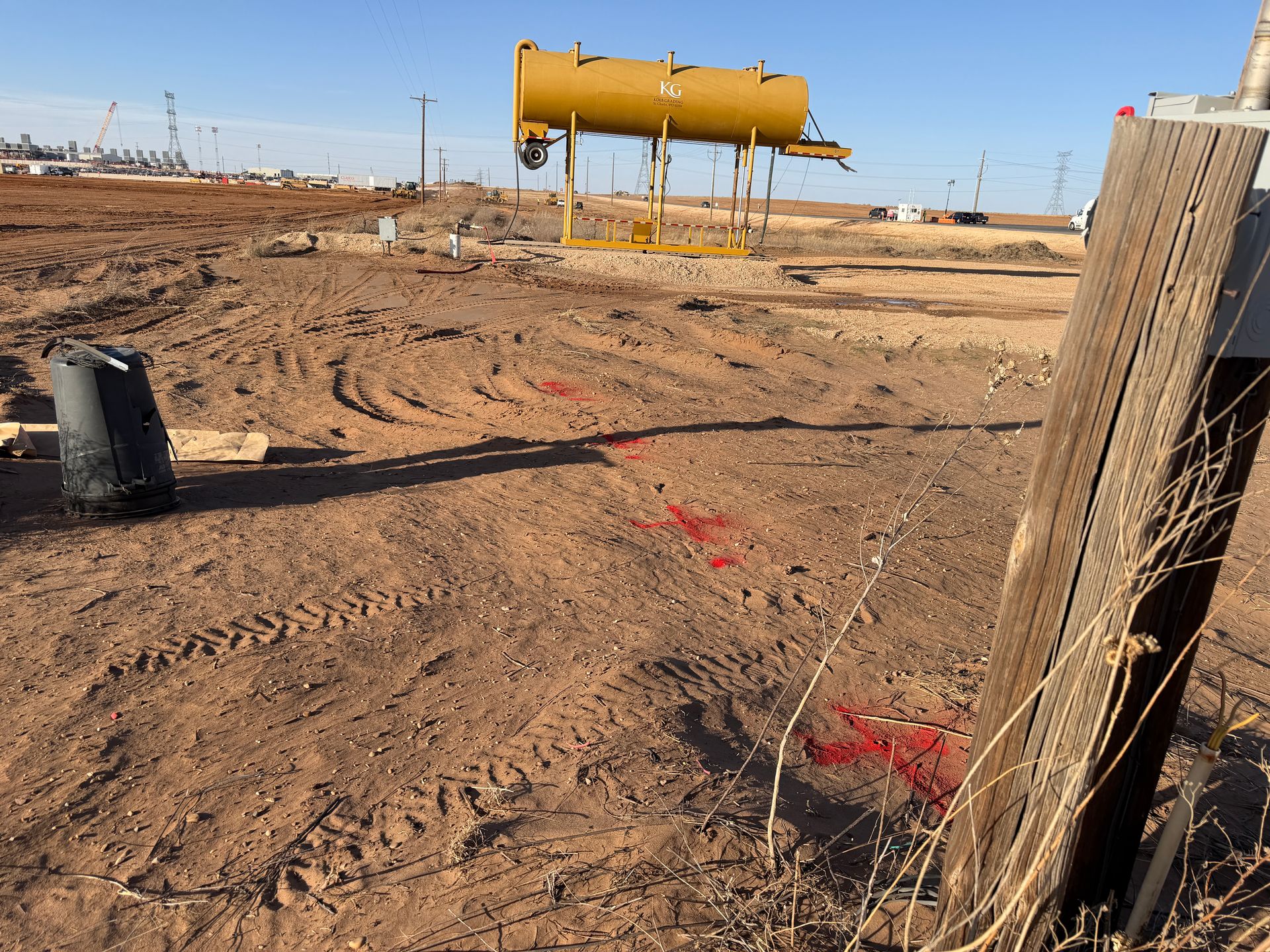
Utility locating and GPR scanning on commercial construction project in Dallas Texas

Dallas Utility Congestion and Construction Growth

Dallas-Fort Worth continues to experience aggressive commercial development, roadway expansion, telecom construction, and infrastructure upgrades across the metroplex. Many sites contain layered utility systems from multiple construction generations, creating increased risk during excavation and drilling activities.

North Texas soil conditions, dense telecom corridors, private electrical systems, irrigation, and undocumented utility crossings can complicate excavation planning on commercial and industrial projects.

Private utility locating and GPR scanning help contractors identify buried infrastructure before trenching, directional drilling, concrete cutting, or excavation begins. Texas 811 does not typically locate privately owned utility systems beyond the utility provider ownership point.

Dallas Utility Locating FAQs

Common questions about private utility locating, GPR scanning, concrete scanning, and subsurface utility mapping across Dallas and the DFW metroplex.

Does 811 locate private utilities in Dallas?

No. Texas 811 generally marks utilities owned by participating utility operators up to the service connection point. Private utilities on commercial and industrial properties typically require private utility locating.

Can GPR detect PVC and non-metallic utilities?

Ground penetrating radar can often identify non-metallic utilities including PVC water lines, conduits, and abandoned infrastructure depending on depth, congestion, and soil conditions.

Do you support telecom and fiber projects in Dallas?

Yes. SiteTwin supports telecom, fiber optic, directional drilling, and utility coordination projects across Dallas-Fort Worth with private utility locating and GPR scanning services.

How quickly can projects be scheduled in Dallas?

Scheduling depends on scope, traffic control requirements, access conditions, and workload, but many projects can be mobilized same day or next day.

Do you provide GPS or GIS utility mapping?

Yes. Utility locating projects can include GPS data collection, GIS-compatible deliverables, KMZ exports, PDF utility maps, and site documentation depending on project scope.

When is potholing required after utility locating?

For critical crossings, high-risk excavation, or exact depth verification requirements, potholing or vacuum excavation remains the definitive verification method before digging.

Services We Provide Across Dallas-Fort Worth

Field-driven utility locating and subsurface investigation services for commercial construction, telecom, infrastructure, industrial, and municipal projects across DFW.
Private utility locating technician marking underground utilities in Dallas Texas

Private Utility Locating

Electromagnetic locating and targeted GPR scanning for buried gas, electric, sewer, water, telecom, and unknown utility systems on private property throughout Dallas-Fort Worth.

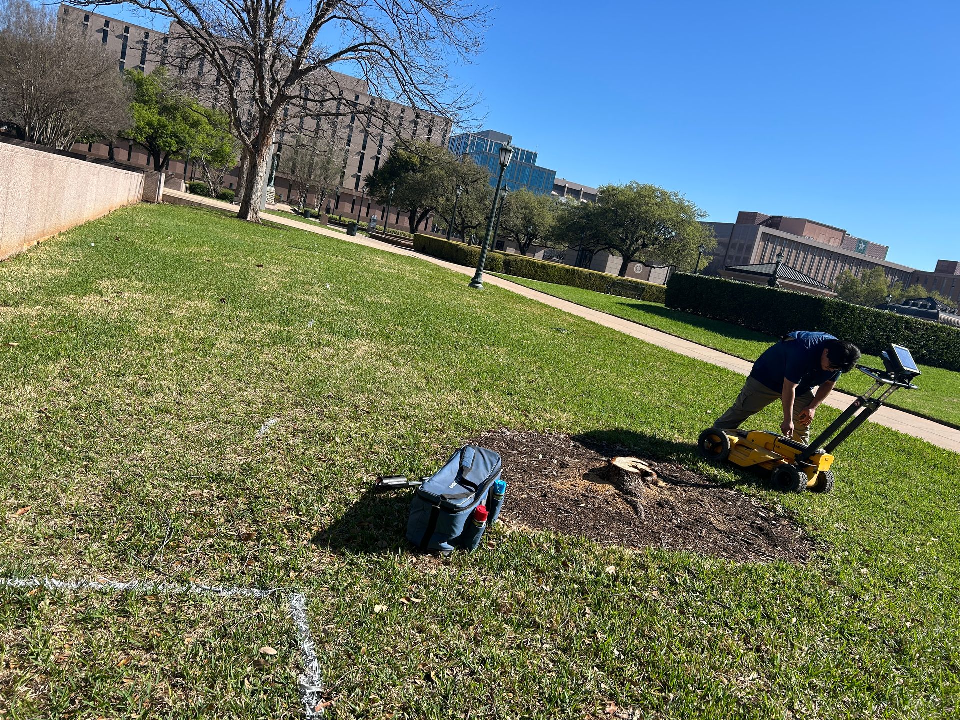
Ground penetrating radar scanning for buried utilities on Dallas commercial construction site

GPR Scanning

Ground penetrating radar scanning for non-metallic utilities, utility conflict investigation, subsurface anomalies, trench verification, and congested utility corridors.

Concrete scanning and rebar detection before drilling in Dallas Texas

Concrete Scanning

Concrete scanning before coring, drilling, trenching, saw cutting, or anchoring to identify rebar, post-tension cable, embedded conduit, and slab hazards.

Schedule Utility Locating in Dallas-Fort Worth

Send the address, project scope, and work type for review. We’ll evaluate the site conditions, determine the appropriate locating approach, and confirm scheduling availability before mobilization.