
Your Drawings Say One Thing. The Ground Says Another.
Record drawings get revised in the field and never updated on paper. Lines move during construction, get abandoned in place, or were drawn from memory years ago. We locate what is actually there and produce a record that matches the ground instead of the archive.
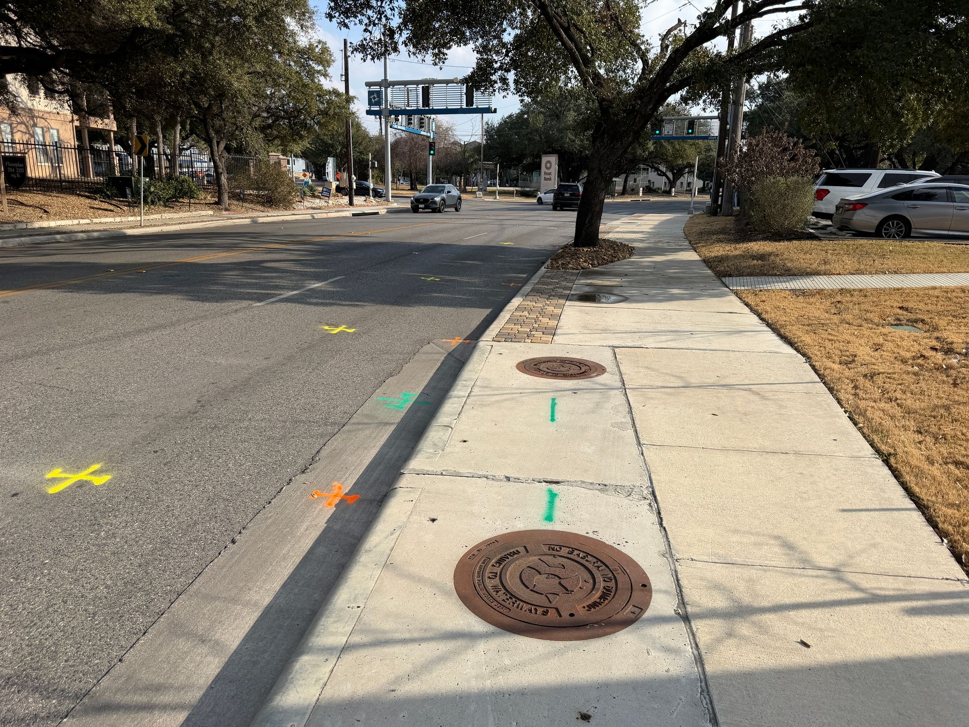
As-builts are a snapshot. Sites keep moving.
A record drawing is accurate on the day it is drawn, assuming it was drawn from field measurements rather than from the design set. Many were not. After that, every tenant improvement, utility replacement, expansion, and abandonment moves the site further from the paper.
On older campuses, industrial facilities, and redeveloped commercial property, the gap between the drawing and the ground is often the single largest source of risk on the job.
- Lines relocated during past construction
- Utilities abandoned in place but still drawn as active
- Services added without a drawing revision
- Drawings produced from design intent rather than field measurement
- Records held by a former owner, contractor, or tenant
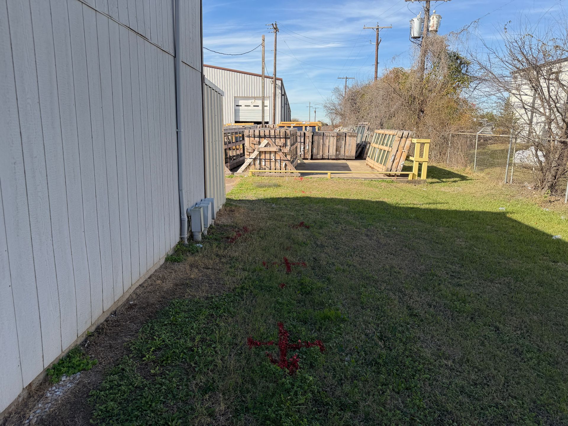
A Record That Reflects the Site
The deliverable is the same georeferenced mapping we produce on any locate, scoped to update or replace an existing record.
Verified Utility Map
Located utilities delivered as a PDF exhibit and KMZ, tied to real coordinates rather than redrawn over an old sheet.
Discrepancy Notes
Where the field disagrees with your existing record, that gets called out specifically instead of quietly corrected.
Reusable Site File
A record the next contractor, tenant, or engineer can open without repeating the investigation.
From Old Drawing to Current Record
We start from whatever you have, then test it against the ground.
Collect Existing Records
Send us the drawings, sketches, and utility records you hold, however incomplete. They tell us what to look for and where the gaps are.
Field Locate the Site
EM and GPR passes across the defined area trace what is actually present, including lines that never made it onto a drawing.
Compare and Flag
Located positions are compared against your records so differences are documented rather than silently overwritten.
Deliver the Updated Record
You receive a georeferenced utility map with the discrepancies noted, in formats your team and your engineer can use.
As-Built Questions
Can you update our existing as-built drawings directly?
What if we have no drawings at all?
Will you find utilities that were abandoned in place?
Is this the same as a survey?
How much of the site do you need to cover?
Can this be delivered alongside concrete scanning?
Working off drawings you do not trust?
Send what you have and the site address. We will tell you what it would take to verify it.
Ready to update your utility records?
Send the site address, whatever drawings you hold, and how much of the property needs coverage. We will come back with a scope and a mobilization date.
