
Utility Locating in Galveston, TX
Galveston is the hardest locating environment on the Texas coast: salt in the soil and air, a water table a few feet down, sand that shifts, and infrastructure that is a layer cake of every era since 1900, rebuilt after every storm that made landfall.
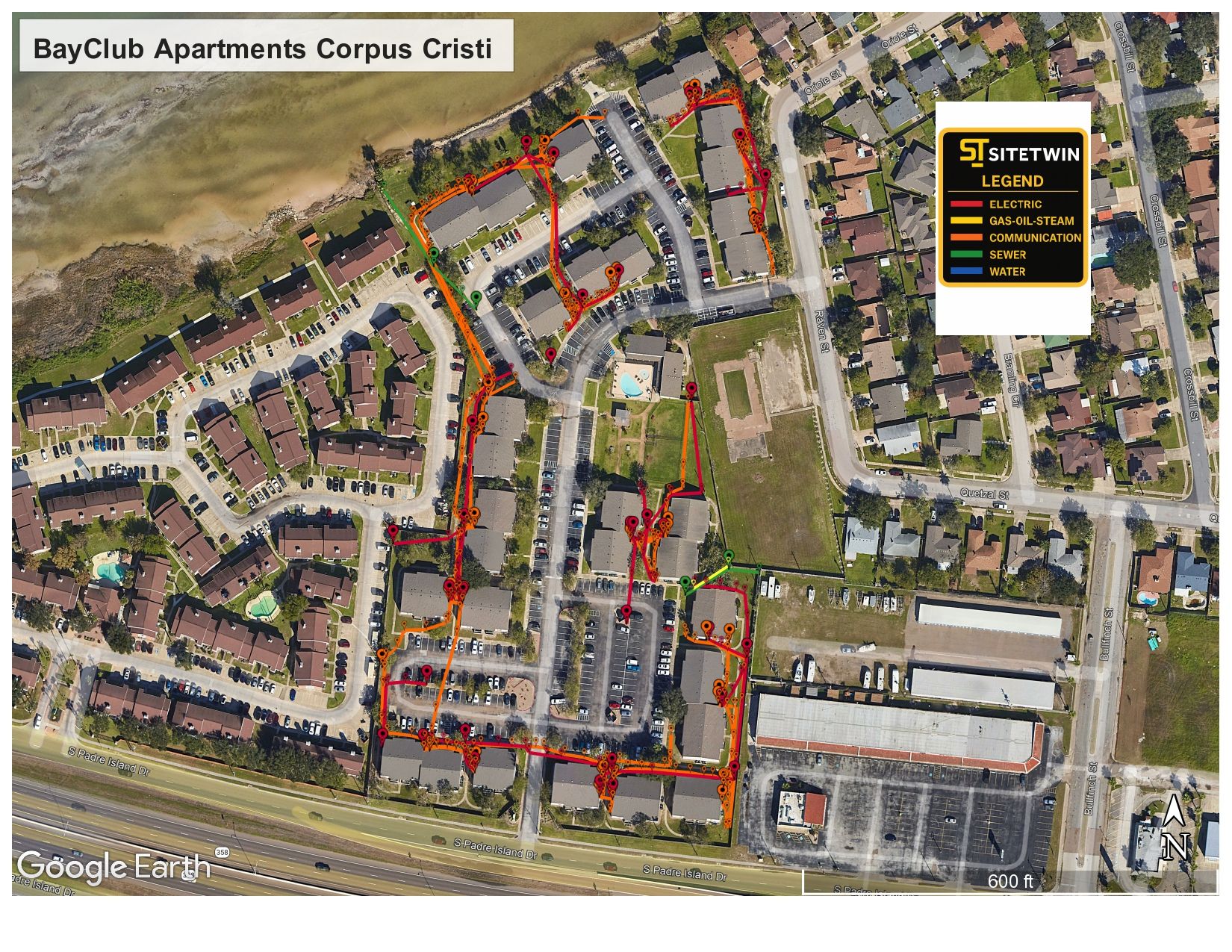
A century of infrastructure, one storm at a time
Every major storm since 1900 left the island with partially rebuilt systems beside whatever survived, so excavation routinely meets abandoned generations of pipe and conduit under the working ones. Records for the older layers effectively do not exist.
The physics are hard too: saline groundwater a few feet down attenuates radar severely, salt accelerates corrosion on older metallic lines, and beach sand migrates. EM locating, conservative interpretation, and test holes do the real work here.
- Layered infrastructure rebuilt after successive storms
- Saline groundwater that sharply limits radar depth
- Salt-accelerated corrosion on older metallic lines
- Historic district utilities predating any records
- Port and industrial waterfront services on the harbor side
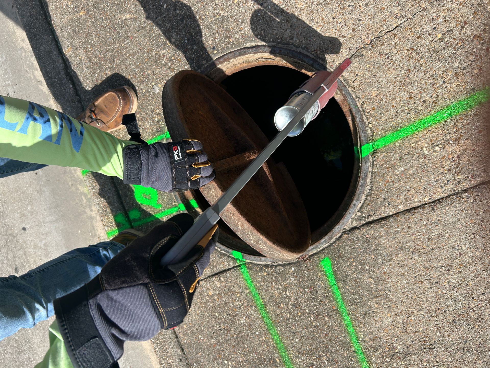
Services We Provide Across Galveston
Private utility locating, GPR scanning, and concrete scanning for contractors, engineers, and project teams working in Galveston and Galveston County.
Private Utility Locating
EM and GPR locating for buried electric, gas, water, sewer, telecom, and unknown lines on private property.
Learn more →GPR Scanning
Ground penetrating radar for non-metallic lines, abandoned pipe, voids, and everything EM locating cannot trace.
Learn more →Concrete Scanning
Rebar, post-tension cable, and embedded conduit located before coring, cutting, or anchoring.
Learn more →Our Galveston service area
The historic downtown and Strand, the seawall corridor, the port and harbor side, midtown, the west end, and Texas City.
SiteTwin on Google
Contractors and project teams across Texas use SiteTwin for locating and deliverables they can hand straight to the crew.
View Google ProfileGalveston Utility Locating FAQs
How do island conditions change the locating approach?
Will you find the abandoned older layers?
Do you work in the historic district?
Do you cover the mainland side too?
Do you provide GPS or GIS utility mapping?
When is potholing needed after a locate?
Digging in Galveston?
Send the address and scope. We will come back with a mobilization date and what to expect on site.
Schedule utility locating in Galveston
Send the site address and project scope for Galveston and Galveston County. We will confirm scheduling and deliverables before we mobilize.