
Utility Locating in Georgetown, TX
Georgetown is one of the fastest-growing cities in Texas, and it is growing on rock. Shallow Edwards limestone, a historic downtown with decades of layered services, and new subdivisions tying into lines installed last year all make the records a starting point, not an answer.
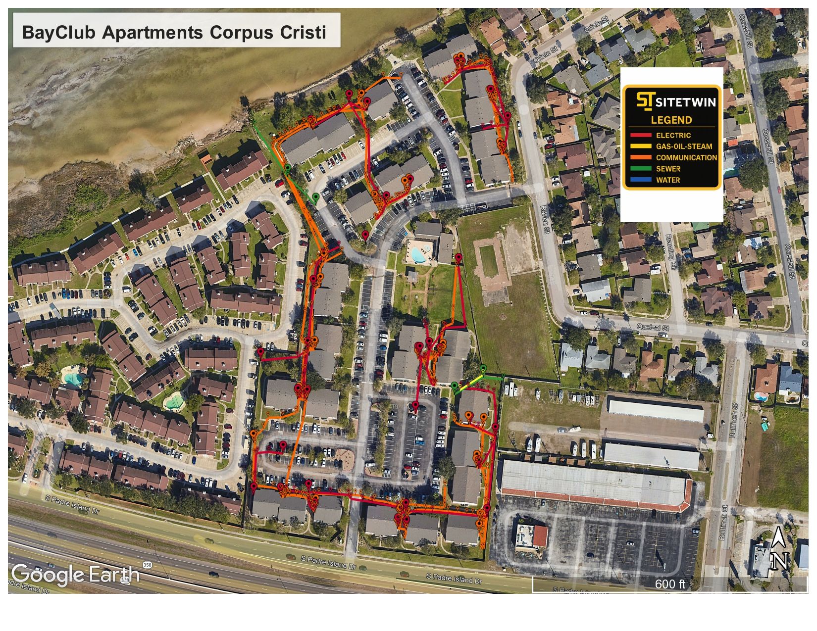
Edwards limestone, a historic core, and growth on every side
Much of Georgetown sits on shallow Edwards limestone and caliche, and the west side reaches into the Edwards Aquifer recharge zone where karst voids are common. Rock scatters radar and masks small targets, so we lead with EM locating, tune GPR to the site, and call out anything we cannot confirm.
The historic square and older blocks around Southwestern University carry layered and abandoned services that rarely match the records. Out along I-35, SH 130, and the new subdivisions, recent installs often have not made it onto the plans yet.
- Shallow limestone and caliche that scatter radar and limit depth
- Karst voids and anomalies near the Edwards Aquifer recharge zone
- Layered, undocumented services around the historic downtown square
- New subdivisions and commercial sites tying into unrecorded lines
- Busy I-35 and SH 130 corridors with congested utility crossings
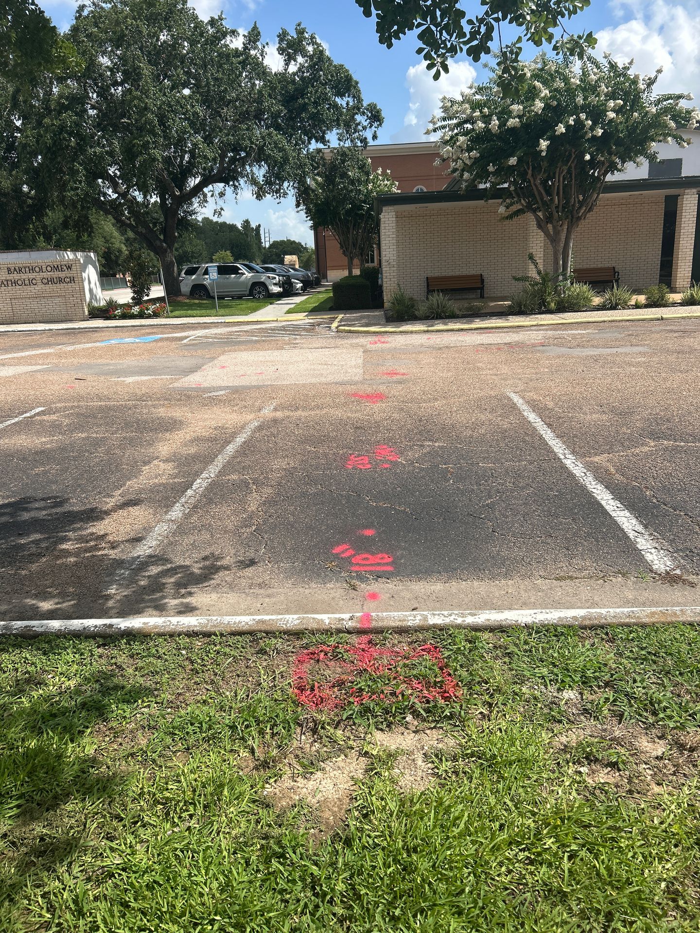
Services We Provide Across Georgetown
Private utility locating, GPR scanning, and concrete scanning for contractors, engineers, and project teams working in Georgetown and Williamson County.
Private Utility Locating
EM and GPR locating for buried electric, gas, water, sewer, telecom, and unknown lines on private property.
Learn more →GPR Scanning
Ground penetrating radar for non-metallic lines, abandoned pipe, voids, and everything EM locating cannot trace.
Learn more →Concrete Scanning
Rebar, post-tension cable, and embedded conduit located before coring, cutting, or anchoring.
Learn more →Sewer Camera Inspection
CCTV inspection of sewer and storm lines across Georgetown to find breaks, offsets, roots, and blockages, with the line path traced, marked, and GPS-mapped.
Learn more →Our Georgetown service area
The historic downtown square, Southwestern University, Sun City, Wolf Ranch, the I-35 and SH 130 corridors, Leander, Round Rock, and Jarrell.
SiteTwin on Google
Contractors and project teams across Texas use SiteTwin for locating and deliverables they can hand straight to the crew.
View Google ProfileGeorgetown Utility Locating FAQs
Does Texas 811 locate private utilities in Georgetown?
How does Georgetown's limestone affect GPR scanning?
Do you work around the historic downtown square?
Do you support new subdivisions and commercial growth in Georgetown?
How fast can you mobilize to a Georgetown job site?
Do you provide GPS or GIS utility mapping?
Digging in Georgetown?
Send the address and scope. We will come back with a mobilization date and what to expect on site.
Schedule utility locating in Georgetown
Send the site address and project scope for Georgetown and Williamson County. We will confirm scheduling and deliverables before we mobilize.