
Utility Locating in McKinney, TX
McKinney runs on two clocks. The historic square and the neighborhoods around it carry utilities older than any surviving record, while the growth corridors north and west add new infrastructure every month. Both halves punish crews that trust the drawings.
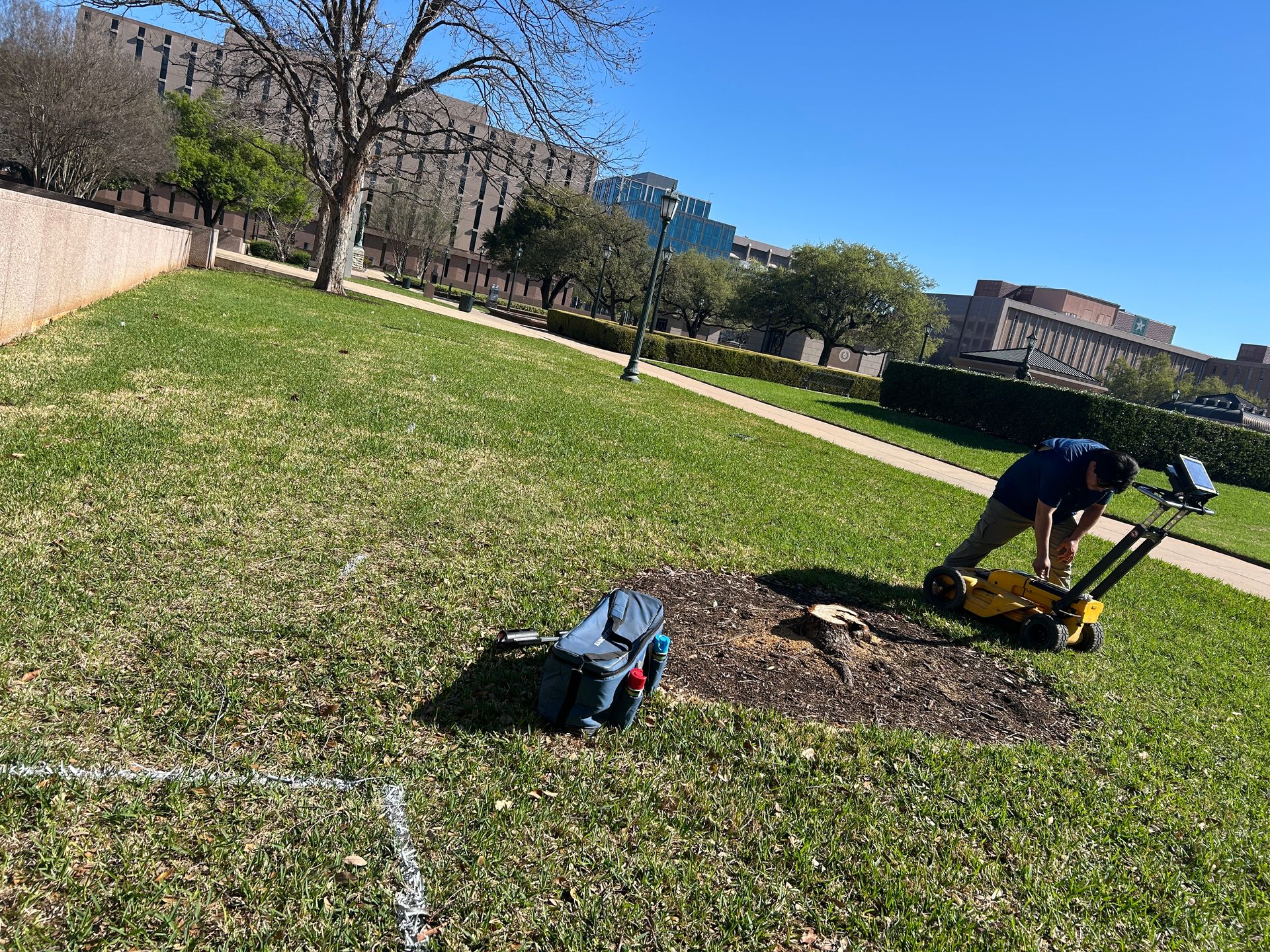
A historic square on one end, greenfield on the other
Around the square, McKinney's utilities date to eras when nobody kept drawings worth trusting. Water, gas, and electric were installed, abandoned, and re-run over a century, and downtown renovation projects routinely uncover service nobody knew existed.
Out along 380 and the Sam Rayburn tollway, the story flips to Frisco-style growth: many builders, fast schedules, fragmented records, all sitting on Blackland clay that moves with the seasons.
- Historic downtown utilities that predate reliable records
- Renovation projects uncovering undocumented service
- Highway 380 corridor growth layered over rural legacy lines
- Expansive clay shifting recorded positions
- Abandoned lines requiring GPR rather than EM alone
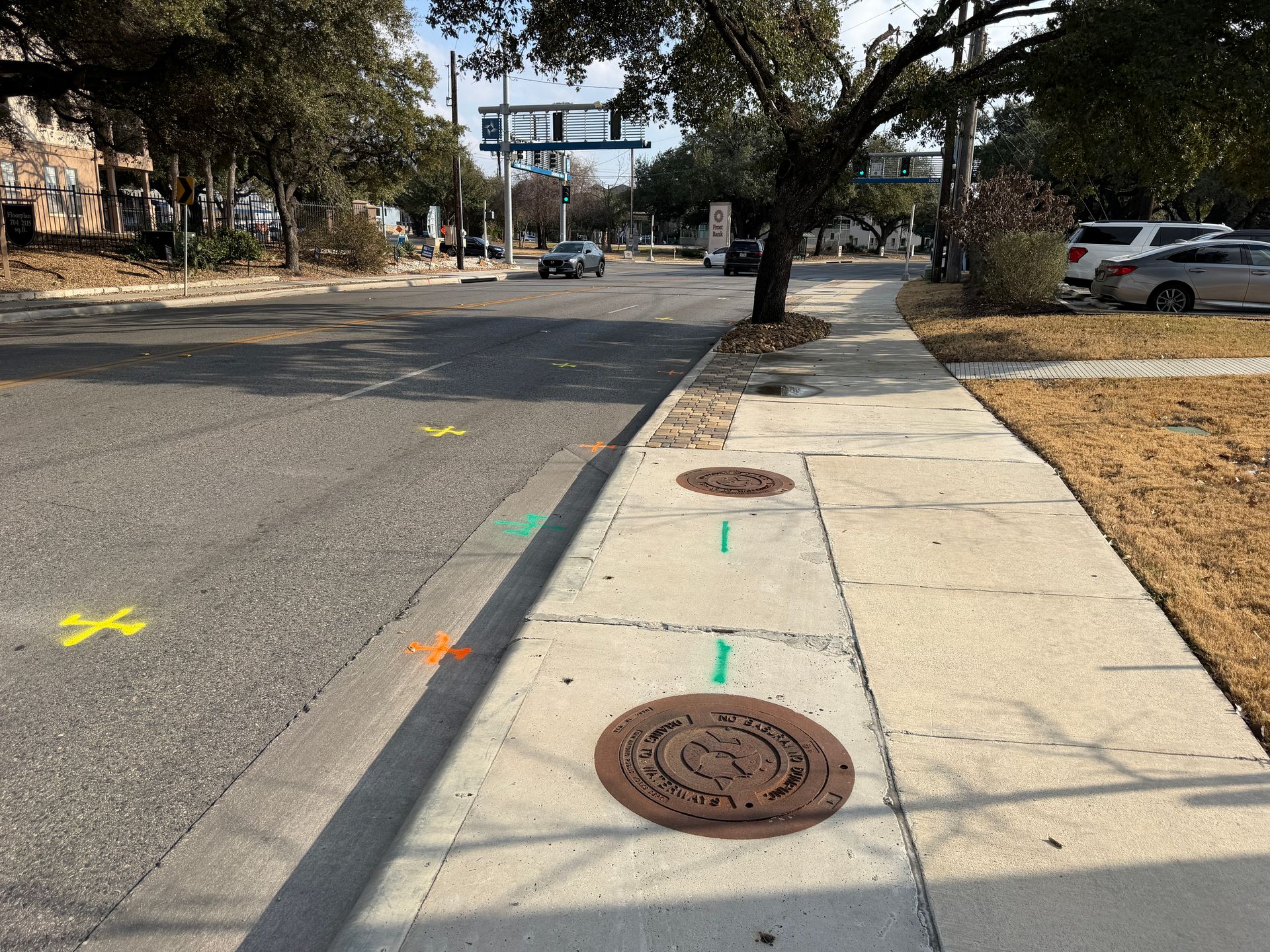
Services We Provide Across McKinney
Private utility locating, GPR scanning, and concrete scanning for contractors, engineers, and project teams working in McKinney and Collin County.
Private Utility Locating
EM and GPR locating for buried electric, gas, water, sewer, telecom, and unknown lines on private property.
Learn more →GPR Scanning
Ground penetrating radar for non-metallic lines, abandoned pipe, voids, and everything EM locating cannot trace.
Learn more →Concrete Scanning
Rebar, post-tension cable, and embedded conduit located before coring, cutting, or anchoring.
Learn more →Our McKinney service area
Downtown McKinney and the square, the Highway 380 corridor, Craig Ranch, Stonebridge Ranch, Fairview, and Melissa.
SiteTwin on Google
Contractors and project teams across Texas use SiteTwin for locating and deliverables they can hand straight to the crew.
View Google ProfileMcKinney Utility Locating FAQs
Why is locating around the McKinney square different?
Does 811 cover the historic district?
Can GPR find lines under brick and old pavement?
Do you cover the 380 corridor projects?
Do you provide GPS or GIS utility mapping?
When is potholing needed after a locate?
Digging in McKinney?
Send the address and scope. We will come back with a mobilization date and what to expect on site.
Schedule utility locating in McKinney
Send the site address and project scope for McKinney and Collin County. We will confirm scheduling and deliverables before we mobilize.