
Utility Locating in Pearland, TX
Pearland grew from rice fields to one of Houston's biggest suburbs in about twenty years, and it did it on flat, saturated gumbo clay where drainage is engineered into every street. The flood infrastructure alone makes its underground busier than it looks.
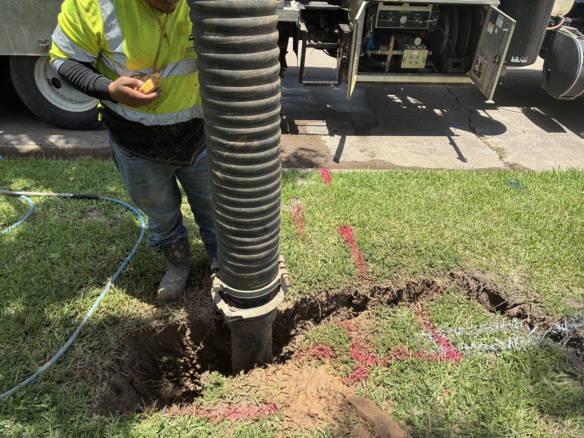
Flat land drains nowhere on its own
With almost no natural grade, Pearland depends on engineered storm systems, detention, and outfalls threaded through and between every development. That infrastructure is dense, largely invisible, and mostly outside one-call coverage.
The gumbo clay it sits in saturates and swells, limiting radar depth and shifting buried lines over time. The 2000s-era growth also means utilities installed by many builders across many MUDs, with the usual fragmented records.
- Dense engineered storm and detention infrastructure
- Saturated gumbo clay limiting radar depth
- MUD-era growth with fragmented builder records
- High water table complicating deep excavation
- Broadway and 288 corridors carrying dense commercial service
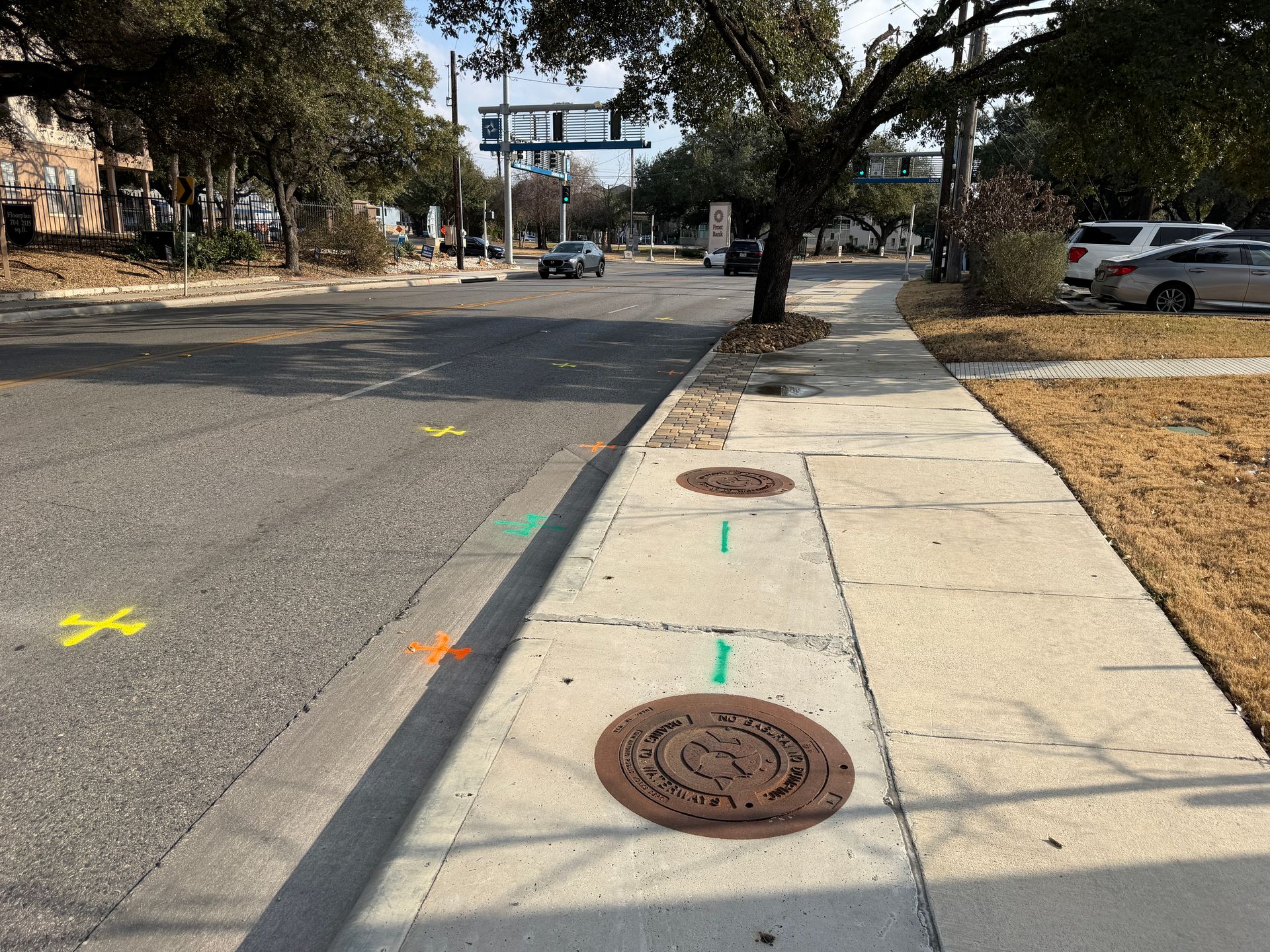
Services We Provide Across Pearland
Private utility locating, GPR scanning, and concrete scanning for contractors, engineers, and project teams working in Pearland and Brazoria County.
Private Utility Locating
EM and GPR locating for buried electric, gas, water, sewer, telecom, and unknown lines on private property.
Learn more →GPR Scanning
Ground penetrating radar for non-metallic lines, abandoned pipe, voids, and everything EM locating cannot trace.
Learn more →Concrete Scanning
Rebar, post-tension cable, and embedded conduit located before coring, cutting, or anchoring.
Learn more →Our Pearland service area
Shadow Creek Ranch, the 288 corridor, Broadway, old town Pearland, Friendswood, and Manvel.
SiteTwin on Google
Contractors and project teams across Texas use SiteTwin for locating and deliverables they can hand straight to the crew.
View Google ProfilePearland Utility Locating FAQs
Why does flat ground mean more buried infrastructure?
Does the clay limit what you can find?
Do you locate on commercial corridors like 288 and Broadway?
Can you support builders in active MUD sections?
Do you provide GPS or GIS utility mapping?
When is potholing needed after a locate?
Digging in Pearland?
Send the address and scope. We will come back with a mobilization date and what to expect on site.
Schedule utility locating in Pearland
Send the site address and project scope for Pearland and Brazoria County. We will confirm scheduling and deliverables before we mobilize.