
Utility Locating in Sugar Land, TX
Sugar Land grew out of a company town, and the ground remembers it. Refinery-era infrastructure sits under the historic core, levee districts thread flood control through every master-planned section, and the gumbo clay underneath moves and holds water.
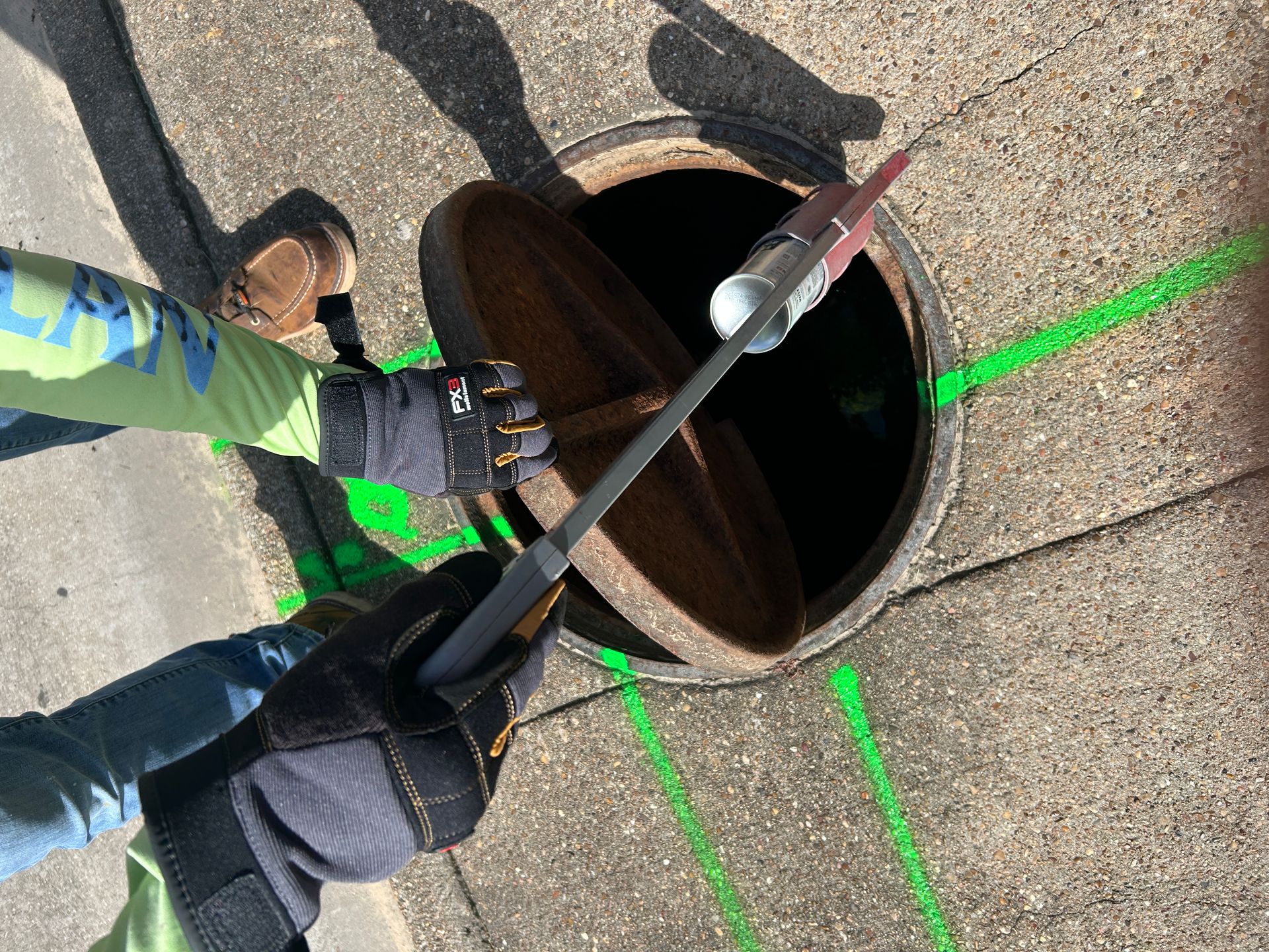
Levee districts above, legacy industry below
The Imperial district and the old core around the refinery site carry industrial-era utilities that predate the city's modern records, and redevelopment there routinely meets pipe nobody expected. The master-planned sections that surround it are governed by levee improvement districts whose drainage and flood infrastructure runs dense and mostly invisible.
Fort Bend gumbo clay saturates and swells, limiting radar depth and making measured test holes the only reliable answer where clearance is tight.
- Refinery-era infrastructure under the historic core
- Levee district drainage and flood control in every section
- Saturated gumbo clay limiting GPR depth
- Redevelopment sites meeting undocumented industrial pipe
- District-held records fragmented across LIDs and MUDs
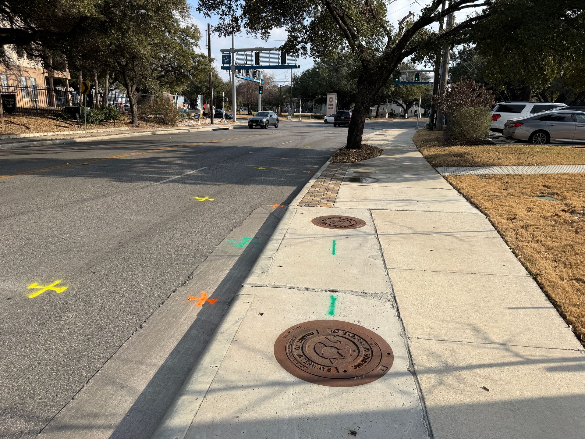
Services We Provide Across Sugar Land
Private utility locating, GPR scanning, and concrete scanning for contractors, engineers, and project teams working in Sugar Land and Fort Bend County.
Private Utility Locating
EM and GPR locating for buried electric, gas, water, sewer, telecom, and unknown lines on private property.
Learn more →GPR Scanning
Ground penetrating radar for non-metallic lines, abandoned pipe, voids, and everything EM locating cannot trace.
Learn more →Concrete Scanning
Rebar, post-tension cable, and embedded conduit located before coring, cutting, or anchoring.
Learn more →Our Sugar Land service area
Imperial and the historic core, Sugar Land Town Square, First Colony, Riverstone, Missouri City, and Stafford.
SiteTwin on Google
Contractors and project teams across Texas use SiteTwin for locating and deliverables they can hand straight to the crew.
View Google ProfileSugar Land Utility Locating FAQs
What is different about the Imperial and historic core area?
Do levee districts affect utility locating?
Does gumbo clay limit what GPR can see?
Do you cover Missouri City and Stafford?
Do you provide GPS or GIS utility mapping?
When is potholing needed after a locate?
Digging in Sugar Land?
Send the address and scope. We will come back with a mobilization date and what to expect on site.
Schedule utility locating in Sugar Land
Send the site address and project scope for Sugar Land and Fort Bend County. We will confirm scheduling and deliverables before we mobilize.