
Utility Locating in The Woodlands, TX
The Woodlands buries its infrastructure the way it hides its buildings: behind trees. Utilities run through forested easements and greenbelts where access is tight, roots interfere with signal, and the visual cues crews rely on in normal suburbs simply do not exist.
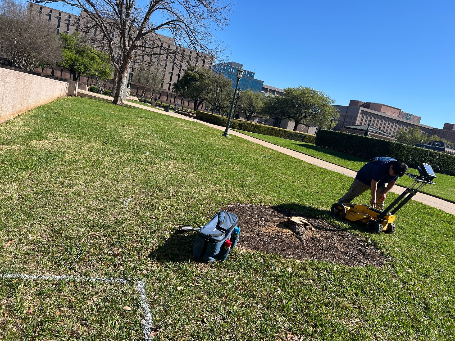
The forest is the point, and the problem
The community's design philosophy pushes utilities into wooded easements and screens every above-ground appurtenance, which is beautiful and terrible for locating. Surface evidence is deliberately minimized, tree roots complicate both signal and excavation, and access to easement corridors often means working around mature canopy.
Layered on top: MUD district infrastructure across dozens of districts, sandy loam over clay that drains differently section by section, and commercial density around Town Center and Hughes Landing that matches any urban core.
- Utilities routed through wooded easements with minimal surface evidence
- Root zones complicating signal and excavation
- Dozens of MUD districts each holding their own records
- Deliberately screened pedestals, valves, and appurtenances
- Urban-density commercial core around Town Center
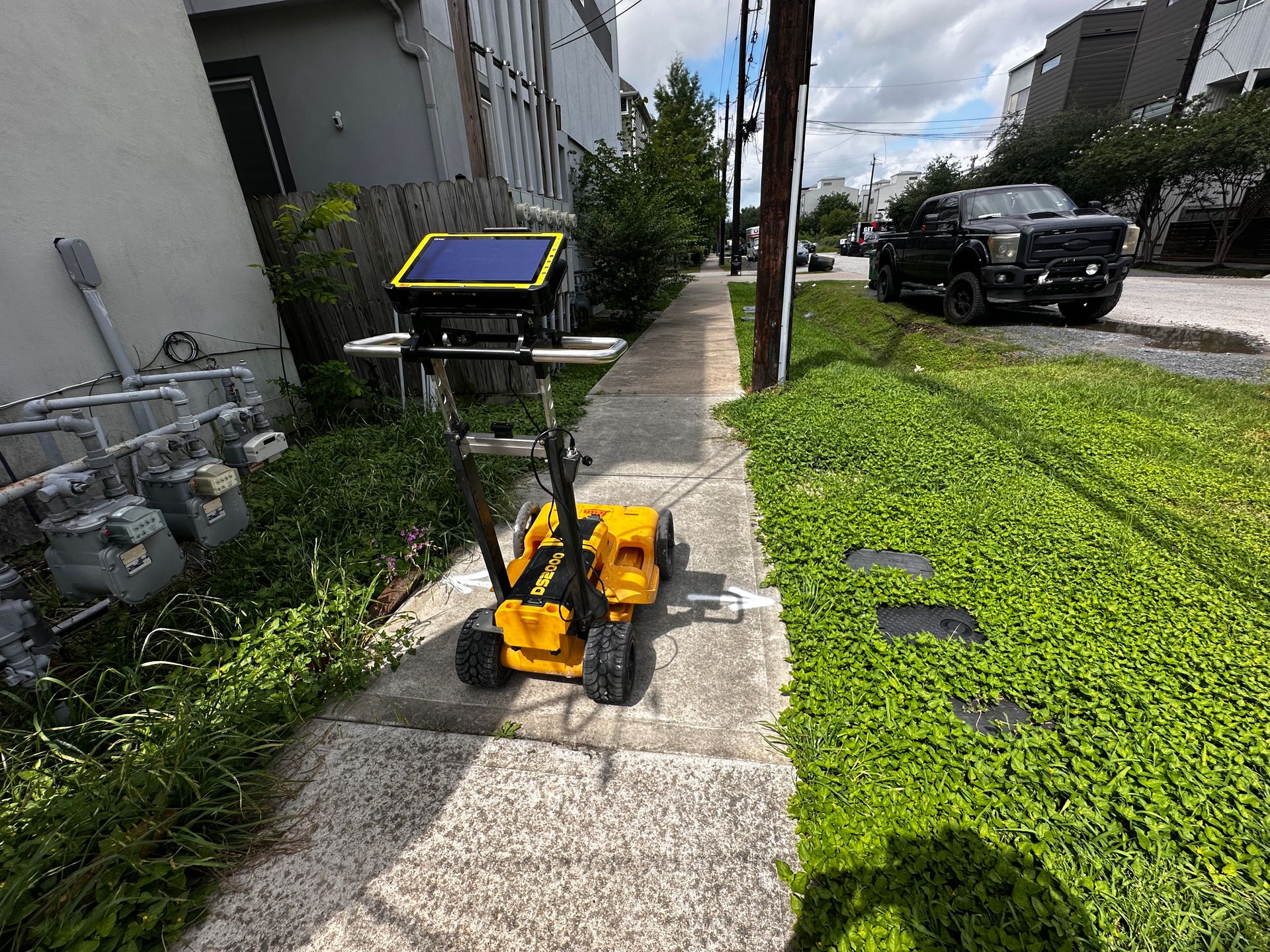
Services We Provide Across The Woodlands
Private utility locating, GPR scanning, and concrete scanning for contractors, engineers, and project teams working in The Woodlands and Montgomery County.
Private Utility Locating
EM and GPR locating for buried electric, gas, water, sewer, telecom, and unknown lines on private property.
Learn more →GPR Scanning
Ground penetrating radar for non-metallic lines, abandoned pipe, voids, and everything EM locating cannot trace.
Learn more →Concrete Scanning
Rebar, post-tension cable, and embedded conduit located before coring, cutting, or anchoring.
Learn more →Our The Woodlands service area
Town Center and Hughes Landing, Research Forest, the villages, Oak Ridge North, Shenandoah, and Magnolia.
SiteTwin on Google
Contractors and project teams across Texas use SiteTwin for locating and deliverables they can hand straight to the crew.
View Google ProfileThe Woodlands Utility Locating FAQs
Why is The Woodlands harder to locate than a normal suburb?
Do tree roots interfere with GPR?
Who holds utility records in The Woodlands?
Can you work in the Town Center commercial core?
Do you provide GPS or GIS utility mapping?
When is potholing needed after a locate?
Digging in The Woodlands?
Send the address and scope. We will come back with a mobilization date and what to expect on site.
Schedule utility locating in The Woodlands
Send the site address and project scope for The Woodlands and Montgomery County. We will confirm scheduling and deliverables before we mobilize.