
Cedar Park & Leander

Utility Locating in Cedar Park, TX

Cedar Park and Leander sit on the Edwards limestone shelf, where rock starts inches below the sod. Utilities here were trenched or bored through stone at whatever depth the rock allowed, which means the depth on the drawing is a suggestion at best.
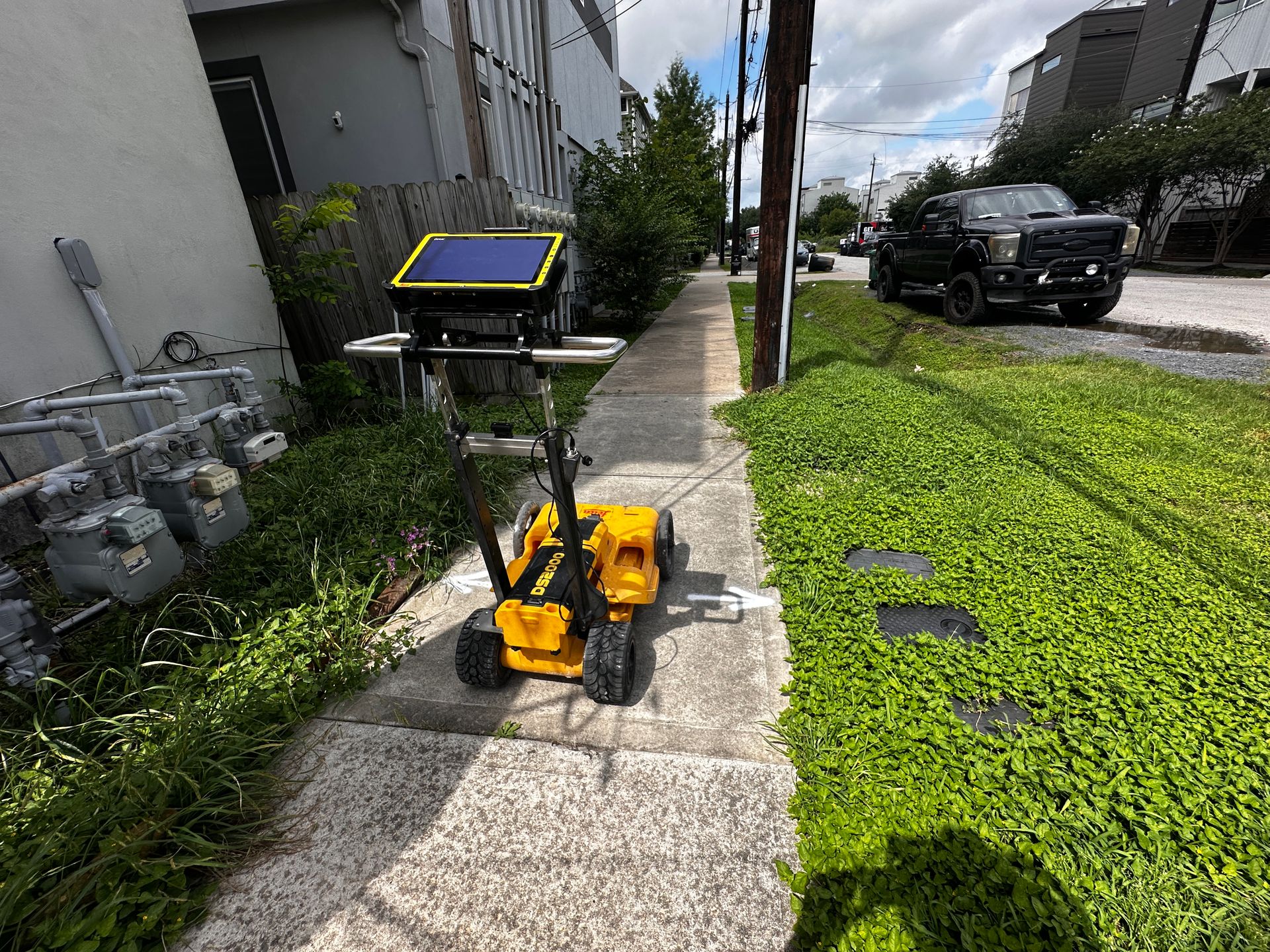
GPR cart running a locate along a sidewalk in Central Texas
Rock at the SurfaceDepth is whatever the limestone allowed
EM+GPRDual-method locating
PDF/KMZDeliverables included
Same dayTypical mobilization
Same-day or next-day mobilization
PDF maps & KMZ deliverables included
Private utility locating beyond 811 coverage
Williamson County Site Conditions

When the ground is rock, lines go where they can

Trenching through shallow limestone is expensive, so utilities across Cedar Park and Leander were installed shallow, routed around hard rock, or bored beneath it, and the as-builts rarely captured the field decisions. Assumed cover depths that hold on soil simply do not hold here.

Add two decades of headlong growth, the new Northline and Bell District density, and the toll corridor's fiber build-out, and the shallow rock is crowded.

  • Shallow limestone forcing nonstandard burial depths
  • Field-routed lines that never made the as-built
  • Karst features scattering radar returns
  • Rapid growth density along 183A and Bell Boulevard
  • Rock excavation costs that make strikes doubly expensive
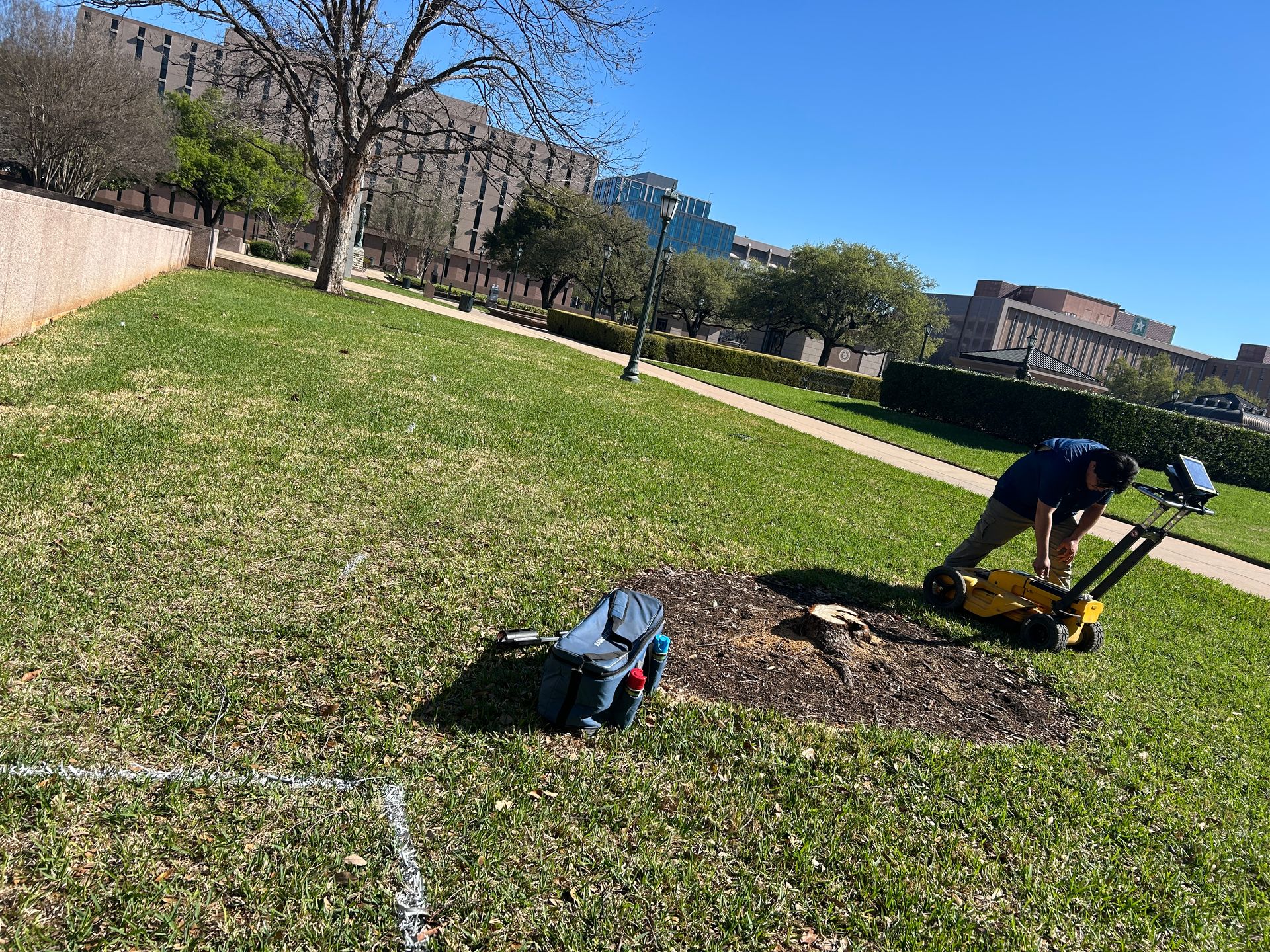
GPR cart on open limestone-country ground
What We Do

Services We Provide Across Cedar Park

Private utility locating, GPR scanning, and concrete scanning for contractors, engineers, and project teams working in Cedar Park and Williamson County.

Private Utility Locating

EM and GPR locating for buried electric, gas, water, sewer, telecom, and unknown lines on private property.

Learn more →

GPR Scanning

Ground penetrating radar for non-metallic lines, abandoned pipe, voids, and everything EM locating cannot trace.

Learn more →

Concrete Scanning

Rebar, post-tension cable, and embedded conduit located before coring, cutting, or anchoring.

Learn more →
Inches
How close limestone sits to the surface
EM+GPR
Dual-method locating
PDF/KMZ
Deliverables included
Same-day
Typical mobilization
Serving Cedar Park

Our Cedar Park service area

Bell District and downtown Cedar Park, the 183A corridor, Northline in Leander, Brushy Creek, Liberty Hill, and Jonestown.

★★★★★

SiteTwin on Google

Contractors and project teams across Texas use SiteTwin for locating and deliverables they can hand straight to the crew.

View Google Profile
SiteTwin Utility Locating
Serving Cedar Park, TX & Williamson County
Phone: 512-968-5660
Cedar Park FAQs

Cedar Park Utility Locating FAQs

Why can't I trust standard burial depths here?
Because standard depths assume soil. Where limestone starts inches down, installers buried lines as shallow as the rock forced them to, or bored beneath it at depths nobody recorded. Assuming 24 inches of cover on the shelf is how strikes happen.
Does rock affect GPR?
Shallow rock reflects strongly and karst features scatter signal, so interpretation takes local experience. We mark what we can confirm and flag what we cannot.
Do you cover Leander's growth corridors?
Yes, Northline, the 183A frontage, and the new sections west of it are core coverage.
Is potholing even possible in rock?
Yes, air excavation handles it, though slower than soil. Where a bore crossing is critical, a measured depth is still worth the effort.
Do you provide GPS or GIS utility mapping?
Yes. Located utilities are logged with GPS and delivered as PDF maps and KMZ exports, so the locate stays usable after the paint fades.
When is potholing needed after a locate?
When a bore or trench has to pass an existing line with required clearance, a vacuum excavated test hole converts an estimated depth into a measured one. Locating establishes horizontal position; potholing verifies depth.

Digging in Cedar Park?

Send the address and scope. We will come back with a mobilization date and what to expect on site.

Send the Address & Scope
Get in Touch

Schedule utility locating in Cedar Park

Send the site address and project scope for Cedar Park and Williamson County. We will confirm scheduling and deliverables before we mobilize.

Cedar Park, TX & Williamson County coverage
Same-day / next-day mobilization
PDF maps & KMZ exports included