Conroe & Montgomery County
Utility Locating in Conroe, TX
Conroe is where Houston's growth wave meets piney-woods ranchland, and the collision shows underground: new subdivisions and industrial parks tie into legacy rural service that was never mapped, on sandy soil that at least gives radar a fighting chance.
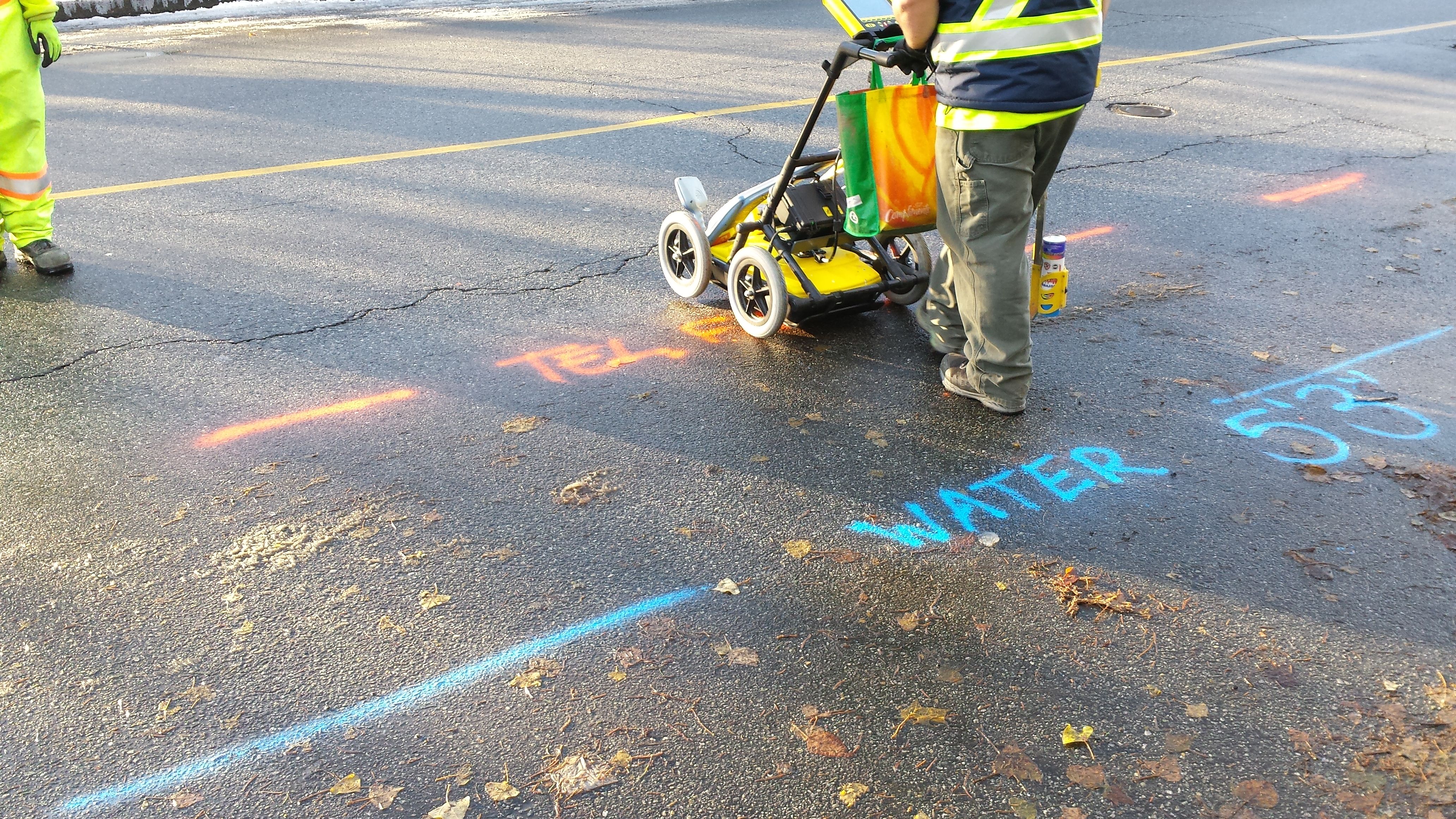
Growth Meets RanchlandNew sections tied into unmapped rural service
EM+GPRDual-method locating
PDF/KMZDeliverables included
Same dayTypical mobilization
Montgomery County Site Conditions
Sandy ground, fast growth, thin records
North of The Woodlands, development moves fast across former timber and ranch land. The legacy service that fed those properties, wells, septic, propane, and long private electric runs, was rarely documented and frequently abandoned in place when subdivisions arrived.
The sandy loam common around Conroe is friendlier to GPR than Houston gumbo, which makes radar genuinely productive here, and makes it the right tool for finding the non-metallic and abandoned lines rural land tends to hide.
- Legacy wells, septic, propane, and private electric on former ranchland
- Abandoned rural service left in place under new sections
- Sandy soils where GPR performs at its best
- Industrial park growth along I-45 and 336
- Lake-area properties with long undocumented service runs