
Plano & Collin County

Utility Locating in Plano, TX

Plano built out decades ago, and that is exactly the problem. The Legacy corridor and the commercial strips along Central and the tollway are now in their second and third generation of tenants, and every remodel and repurpose left utilities behind that nobody drew.
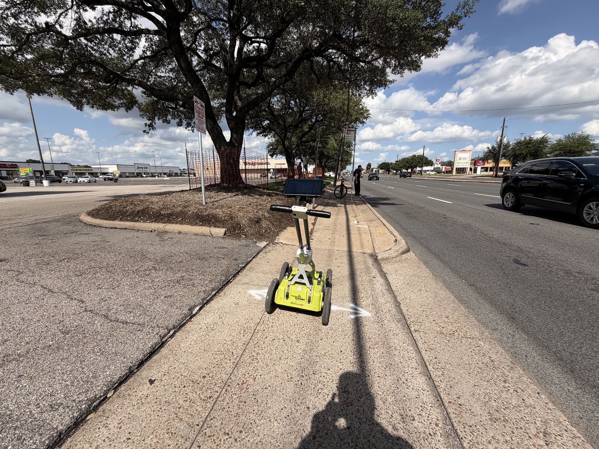
GPR cart scanning a commercial corridor on a North Texas utility locating project
Built Out, Not DocumentedThree generations of tenants, one set of missing records
EM+GPRDual-method locating
PDF/KMZDeliverables included
Same dayTypical mobilization
Same-day or next-day mobilization
PDF maps & KMZ deliverables included
Private utility locating beyond 811 coverage
Collin County Site Conditions

Redevelopment ground: everything is already down there

Unlike the greenfield suburbs north of it, Plano's dirt work happens on land that has already been developed once or twice. Legacy business park, the Central Expressway corridor, and the older commercial strips carry decades of abandoned service, re-routed feeds, and tenant improvements that never made it onto a drawing.

Under all of it sits Blackland Prairie clay, which swells and shrinks with the seasons and gradually walks buried lines away from their recorded depth and alignment. On a redevelopment site, the record drawing is a starting hypothesis at best.

  • Redevelopment sites carrying two or three generations of buried service
  • Abandoned lines left in place through past tenant build-outs
  • Expansive Blackland clay shifting lines off recorded positions
  • Dense corridors along Legacy, Central, and the tollway frontage
  • Campus-scale corporate properties where 811 stops at the meter
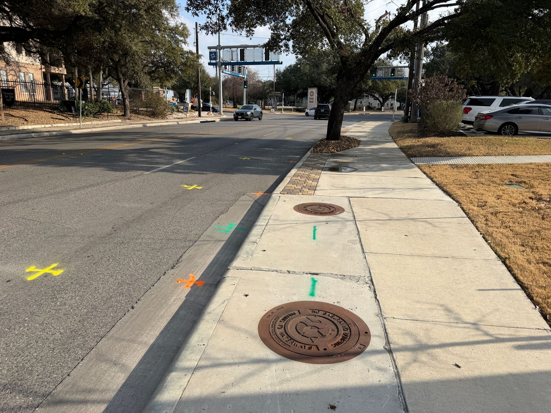
Street with manholes and multi-color utility locate markings
What We Do

Services We Provide Across Plano

Private utility locating, GPR scanning, and concrete scanning for contractors, engineers, and project teams working in Plano and Collin County.

Private Utility Locating

EM and GPR locating for buried electric, gas, water, sewer, telecom, and unknown lines on private property.

Learn more →

GPR Scanning

Ground penetrating radar for non-metallic lines, abandoned pipe, voids, and everything EM locating cannot trace.

Learn more →

Concrete Scanning

Rebar, post-tension cable, and embedded conduit located before coring, cutting, or anchoring.

Learn more →
2nd-Gen
Redevelopment sites with layered utilities
EM+GPR
Dual-method locating
PDF/KMZ
Deliverables included
Same-day
Typical mobilization
Serving Plano

Our Plano service area

Legacy West, Legacy business park, downtown Plano, the Central Expressway corridor, west Plano, Murphy, and Parker.

★★★★★

SiteTwin on Google

Contractors and project teams across Texas use SiteTwin for locating and deliverables they can hand straight to the crew.

View Google Profile
SiteTwin Utility Locating
Serving Plano, TX & Collin County
Phone: 512-968-5660
Plano FAQs

Plano Utility Locating FAQs

Does 811 cover private utilities in Plano?
No. Texas 811 marks utilities owned by participating operators up to the meter or property boundary. On Plano's corporate campuses and commercial sites, most of what an excavator can hit sits past that point and needs private locating.
Why do older commercial sites need locating if they have as-builts?
Because the as-built usually reflects the original construction, not the decades of tenant improvements, re-feeds, and abandonments that followed. On second-generation sites, the field routinely disagrees with the paper.
Can you find lines abandoned by a previous tenant?
Often, yes. Abandoned lines are usually unenergized and sometimes non-metallic, which makes them invisible to electromagnetic locating alone. GPR is the tool that finds them, and we flag areas where coverage was limited.
How quickly can you get to a Plano site?
Same-day or next-day mobilization is typical across DFW, subject to scope and access.
Do you provide GPS or GIS utility mapping?
Yes. Located utilities are logged with GPS and delivered as PDF maps and KMZ exports, so the locate stays usable after the paint fades.
When is potholing needed after a locate?
When a bore or trench has to pass an existing line with required clearance, a vacuum excavated test hole converts an estimated depth into a measured one. Locating establishes horizontal position; potholing verifies depth.

Digging in Plano?

Send the address and scope. We will come back with a mobilization date and what to expect on site.

Send the Address & Scope
Get in Touch

Schedule utility locating in Plano

Send the site address and project scope for Plano and Collin County. We will confirm scheduling and deliverables before we mobilize.

Plano, TX & Collin County coverage
Same-day / next-day mobilization
PDF maps & KMZ exports included