
Subsurface Utility Engineering SUE Explained
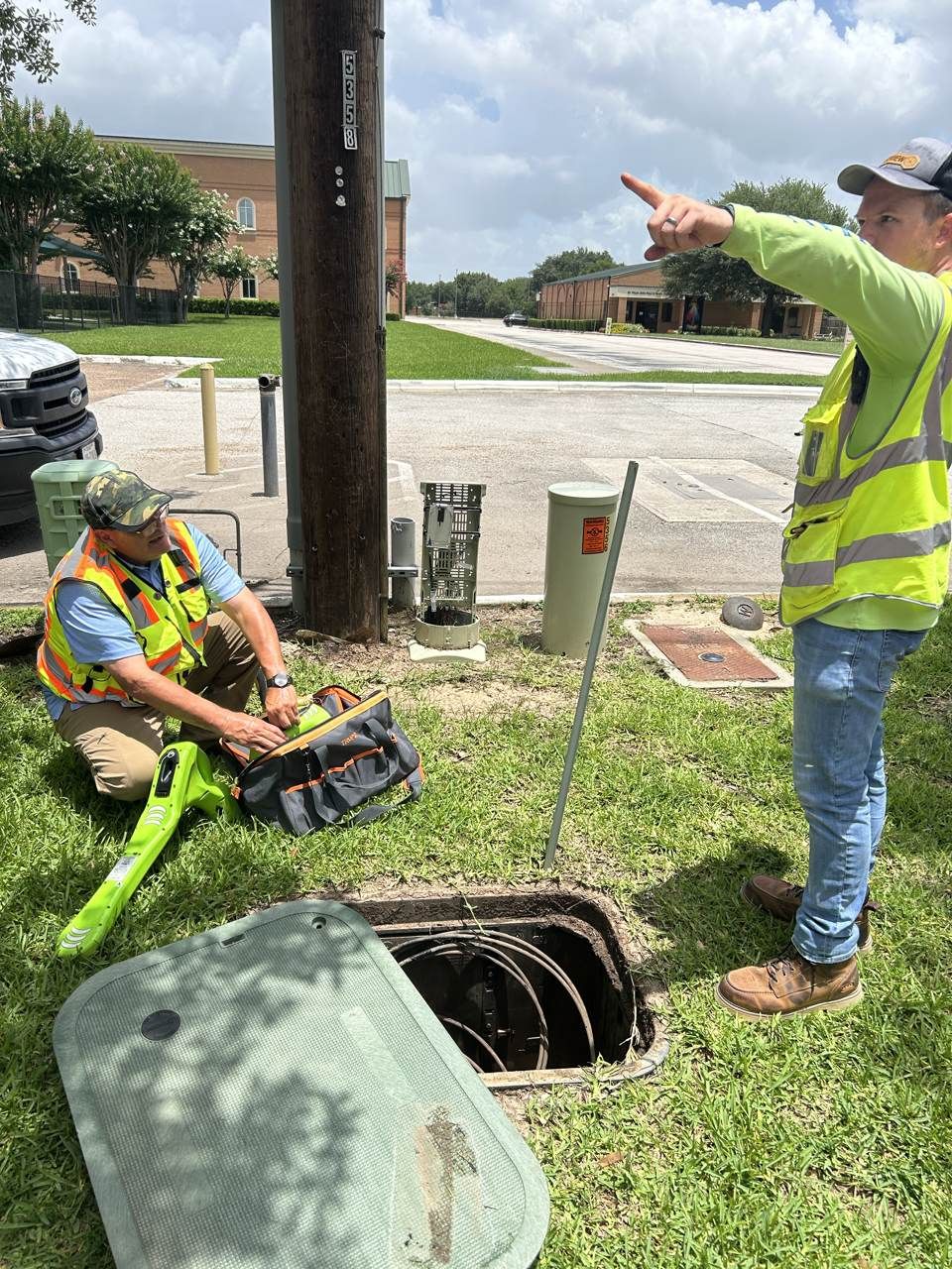
On complex projects, "we called 811 and marked the site" is not always enough to describe how well the underground is understood. That is why the industry uses a more precise framework: Subsurface Utility Engineering, or SUE.
SUE is a structured approach to identifying and documenting existing underground utilities so that design and excavation decisions are based on a known level of reliability. Its most important idea is that not all utility information is equal - and SUE grades that information into four quality levels.
SiteTwin | Utility Locating Services
What Is Subsurface Utility Engineering?
Subsurface Utility Engineering is a practice for managing the risk that existing underground utilities create for a project. It combines records research, surface surveying, geophysical utility locating, and physical verification into a documented picture of what is underground - and, crucially, how confident you can be in each part of that picture.
The framework is defined in the industry standard ASCE 38, which sets the four quality levels described below. The point of the levels is honesty: they tell a design or excavation team exactly how reliable each piece of utility information is.
The Four SUE Quality Levels
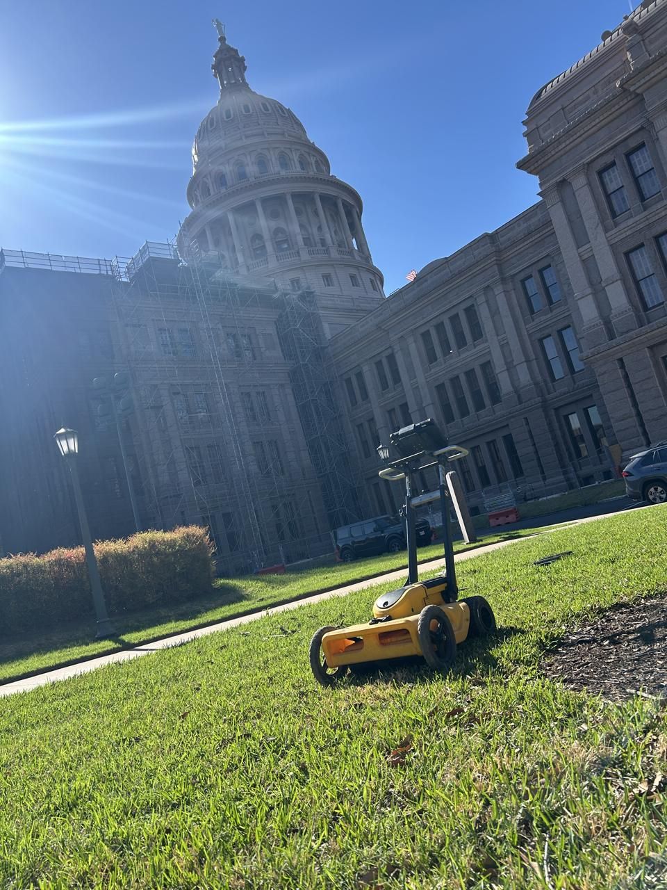
The quality levels run from D (lowest confidence) to A (highest). Each level adds information and reliability.
- Quality Level D (QL-D) - Information gathered from existing records, as-builts, and utility owner drawings. It is the starting point, but it is only as accurate as the records themselves, which are often incomplete or outdated.
- Quality Level C (QL-C) - QL-D information plus a survey of visible surface features - manholes, valve boxes, meters, and pedestals - correlated to the records. It improves confidence but still relies on what is visible and documented.
- Quality Level B (QL-B) - "Designating." Utilities are located using geophysical methods such as electromagnetic locating and GPR, and their horizontal position is marked in the field. This is a major jump in reliability because it reflects actual field conditions, not just records.
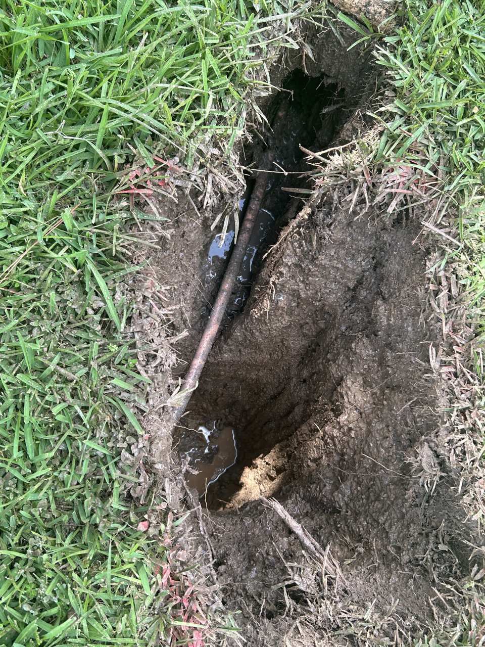
- Quality Level A (QL-A) - "Locating." The utility is physically exposed by potholing so its precise horizontal and vertical position - the actual depth - is measured. This is the highest confidence level and the only one that verifies depth.
Why the Quality Levels Matter
The value of SUE is that it forces honesty about uncertainty. A record drawing (QL-D) and a potholed measurement (QL-A) are both "utility information," but trusting them equally is how strikes and redesigns happen.
By assigning a quality level, a project team can make risk-based decisions: rely on QL-B designating to plan a route, then escalate to QL-A potholing at the specific high-risk crossings where depth must be verified. It concentrates the expensive verification exactly where it is needed instead of everywhere or nowhere.
How SiteTwin Supports SUE Data Collection
SiteTwin performs the field investigation that produces SUE-quality utility data:
- QL-D and QL-C - records review and survey of visible surface features across the work area
- QL-B - EM locating and GPR designating to mark utility positions from actual field conditions
- QL-A support - identifying exactly which crossings should be potholed to verify depth
SiteTwin | GPR Scanning Services
The result is documented in deliverables the project team can use - paint markings, site photos, PDF utility maps, KMZ exports, and GIS-compatible utility mapping - so everyone works from the same, quality-graded information.
Need a documented underground utility investigation? SiteTwin performs private utility locating, GPR scanning, and utility mapping for contractors, engineers, and property owners across Texas. Send the address and scope for review. Request a locate.
When Projects Use SUE
A SUE approach is common on:
- Commercial and industrial development
- Roadway and infrastructure projects
- Utility design and coordination
- Directional boring and deep excavation
- Redevelopment of built-up sites
- Any project where an unknown utility could affect design, schedule, or safety
The more congested and modified the site, the more valuable it is to know the reliability of each utility, not just its assumed location.
Subsurface Utility Engineering in Texas
Texas commercial and industrial sites are heavily built and frequently modified, which makes records-only (QL-D) information especially risky. SiteTwin provides field investigation across the major Texas metros:
Houston
Dallas
Austin
Fort Worth
San Antonio
You can also view our service locations.
Subsurface Utility Engineering FAQ
What is subsurface utility engineering (SUE)?
SUE is a structured practice for identifying, locating, and documenting existing underground utilities so project teams can manage the risk they create. It grades utility information into four quality levels defined by ASCE 38.
What are the SUE quality levels?
QL-D is records-based information, QL-C adds a survey of visible surface features, QL-B uses geophysical locating (EM and GPR) to mark utilities in the field, and QL-A physically exposes the utility by potholing to verify precise position and depth.
What is the difference between QL-B and QL-A?
QL-B (designating) marks the horizontal position of a utility using EM locating and GPR. QL-A (locating) physically exposes the utility by potholing to confirm its exact horizontal and vertical position, including depth.
Is utility locating the same as SUE?
Utility locating is part of SUE. Field locating with EM and GPR provides QL-B data, while records review and surface surveys provide QL-C and QL-D. Potholing provides QL-A.
Which SUE quality level do I need?
It depends on project risk. Many projects use QL-B designating for planning and escalate to QL-A potholing only at high-risk crossings where depth must be verified.
Know How Reliable Your Utility Data Is
The strength of SUE is that it tells you not just where the utilities are, but how confident you can be. Before design or excavation, get the work area investigated, marked, and documented so decisions are based on quality-graded information - not assumptions.
SiteTwin | Request a Locate Today