
Private Utility Locating in Austin: Courtyard Cable Route
A telecom contractor needed to replace a cable line through the courtyard of a residential property in north-central Austin. Before anyone dug between the pedestals, every utility along that route had to be found and marked, including a few that did not want to be found. Here is how our team handled it.
The project
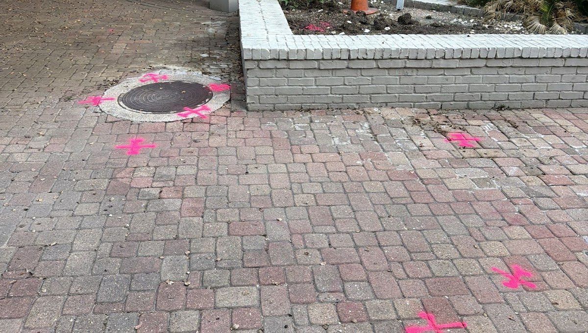
The route ran across a paved courtyard with brick planters, garden lights, a pergola seating area and a pool fence, from one pedestal to another. The scope was simple to state: mark the area where the cable line will be replaced, from ped to ped. In a courtyard like this, though, gas, electric, communication and water all share the same few feet of ground, and paving and planters leave little room to move a trench once digging starts.
Our approach
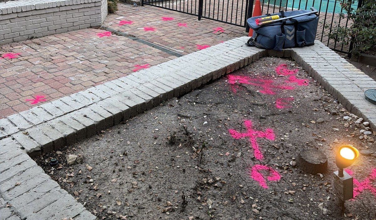
Our technician worked the route in a single visit in early October 2026 using electromagnetic (EM) locating with a Radiodetection RD8200SG locator. Every located utility was marked on site with paint and flags, then mapped with GPS so each line and structure (the gas riser, the electric meter bank, an electric vault and the meters at the northeast corner) has a position on the map. Thirty-eight site photos with time, position and heading stamps document the marks across the paving, planters, seating area and pool fence.
What we found
- Gas: about 55 ft of gas line in the courtyard, running to the gas riser.
- Electric: about 79 ft of electric cable between the meter bank, an electric vault and the meters at the northeast corner.
- Communication: about 85 ft of cable TV line and about 79 ft of telephone cable along the cable replacement route.
- Water: about 37 ft of water line near the meter bank.
Three conditions were flagged for the crew rather than glossed over:
- Weak gas signal. The gas line did not give a strong signal, so our technician recommended hand digging across it.
- PEX water. Part of the water service is PEX, a plastic pipe that does not carry a locating signal, so its mapped position is less certain and should be verified before digging.
- Cut wires not located. Cut wires were found around the work area, apparently feeding the garden-box lights. No signal could be put on any of them, so they were not marked or mapped.
Calling out what could not be confirmed is as important as marking what could. It tells the crew exactly where to slow down and expose a line by hand.
Deliverables
- Utilities marked on site with paint and flags.
- An 11x17 PDF map sheet with a detail map, project information, findings and a feature schedule.
- A KMZ file for Google Earth with each utility, the fitted base map and the site photos.
- A written report in Word and PDF, with all 38 site photos in the photo log.
Lengths are approximate and measured along the mapped linework. The marks on site are the reference, and 811 should still be called before digging.
Replacing a line through a tight courtyard in Austin?
Our private utility locating crews mark gas, electric, communication and water on private property, and our GPS utility mapping turns the marks into a map and KMZ your team can keep. See our Austin utility locating page, read the northwest Austin fiber install write-up from the same week, or browse more utility locating projects across Texas.