
Private Utility Locating in Austin: Fiber Install Prep
Before a telecom contractor could start a new fiber installation at a property in northwest Austin, every private and accessible underground utility in the work area had to be found, marked and mapped. Here is how our team handled it and what the crew walked away with.
The project
The work area ran along a residential street frontage, with a transformer and street light at the north end, an electric pole at the south end, pedestals, a water meter, a sanitary sewer manhole and an existing telecom handhole in between. The contractor sent a scope of work and asked us to locate and mark the underground utilities inside that area, then map the marks for their records, so the fiber crew would know what they were crossing before any trenching or boring started.
Our approach
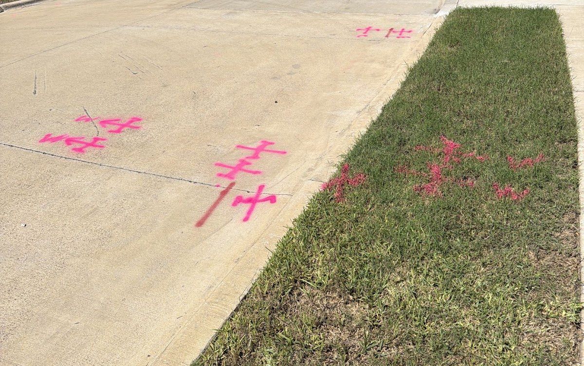
Our technician covered the work area in a single visit in early October 2026. Locating was done with electromagnetic (EM) equipment, a Radiodetection RD8200SG locator, using active and passive methods wherever conductors or tracer access allowed. Every located line was marked on site with paint and flags.
The marks were then mapped with GPS: shots along each located line, plus utility structures such as the transformer, street light, electric peds, meter, pole, cable peds, water meter, sewer manhole and telecom handhole. Twenty-nine site photos with time, position and heading stamps document the marks. No ground-penetrating radar (GPR) was needed on this job.
What we found
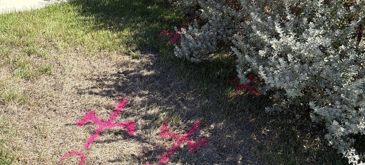
- Electric: a main run of about 219 ft from the transformer and street light at the north end to the electric pole at the south end, with short runs to the street light, electric peds and meter. Gate electric was also marked out to the gate.
- Cable TV: about 176 ft of cable line between the two cable peds, running alongside the electric, with short runs at the south ped.
- Existing fiber: about 53 ft of fiber marked out from the telecom handhole at the south end of the work area.
- Water: about 127 ft of water line on the west side of the work area, plus service lines at the water meter.
- Sanitary sewer: about 27 ft of sewer line through the manhole.
Electric and cable TV running side by side over most of the frontage, with existing fiber and water in the same corridor, is typical of what a new fiber route has to cross. Having each line on the ground and on a map before the work begins is what keeps a fiber crew from finding one with a bore head.
Deliverables
- Utilities marked on site with paint and flags.
- An 11x17 PDF utility locate map sheet with a feature schedule and photo log.
- A KMZ file for Google Earth with the located utilities and site photos.
- A written report in Word and PDF.
Lengths are approximate and measured along the mapped linework. As always, the marks on the ground are the reference, and 811 should still be called before digging.
Need a fiber route cleared in Austin?
If you have a fiber, conduit or service install coming up, our private utility locating team marks what is in the way and our GPS utility mapping puts it on a map your crew can use. See our Austin utility locating page, read a similar job in our Richardson apartment fiber write-up, or browse more utility locating projects across Texas. From the same week, see our Austin courtyard cable route write-up.