
Underground Utility Mapping for Construction Projects
Construction projects often depend on accurate information about what is underground. Before trenching, directional boring, grading, utility installation, or site development begins, project teams need a clear understanding of existing utility conditions. Unfortunately, available plans do not always reflect what is actually in the field.
Utilities may have been repaired, rerouted, expanded, or abandoned over time. As a result, contractors often need more than paint marks alone. That is where underground utility mapping becomes valuable.
SiteTwin | Private Locating Services
Utility mapping helps document underground utility investigations and provides project teams with information that can be used throughout construction.
What Is Underground Utility Mapping?
Underground utility mapping is the process of documenting known and identified utility locations within a project area. Utility mapping is often performed after a utility investigation has been completed and may include information gathered through:
- Utility records review
- Site inspections
- Electromagnetic locating
- GPR investigations
- Field verification
- Existing utility documentation
The purpose is to provide a more organized picture of underground conditions before excavation begins. Depending on project requirements, utility mapping may be used for planning, coordination, design support, and construction risk reduction.
Why Utility Mapping Matters
Paint markings are useful, but they are temporary. Construction schedules change. Weather can remove markings. Multiple contractors may work on the same site. Excavation may occur weeks after the initial investigation. Utility mapping helps preserve information beyond the field locate.
Benefits may include:
- Improved project planning
- Better utility coordination
- Reduced excavation uncertainty
- Documentation for future work
- Improved communication between trades
- Identification of utility conflict areas
For larger projects, utility mapping often becomes a valuable reference throughout construction.
Common Construction Projects That Use Utility Mapping
Utility mapping is commonly used on:
- Commercial developments
- Industrial facilities
- School campuses
- Healthcare facilities
- Municipal projects
- Utility installations
- Site redevelopment projects
- Infrastructure improvements
- Directional boring projects
- Large excavation projects
Projects involving multiple contractors or phased construction often benefit the most from documented utility information.
How Utility Mapping Is Created
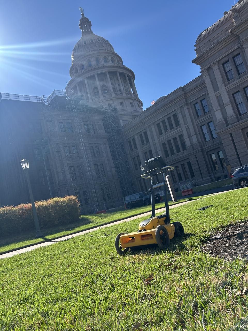
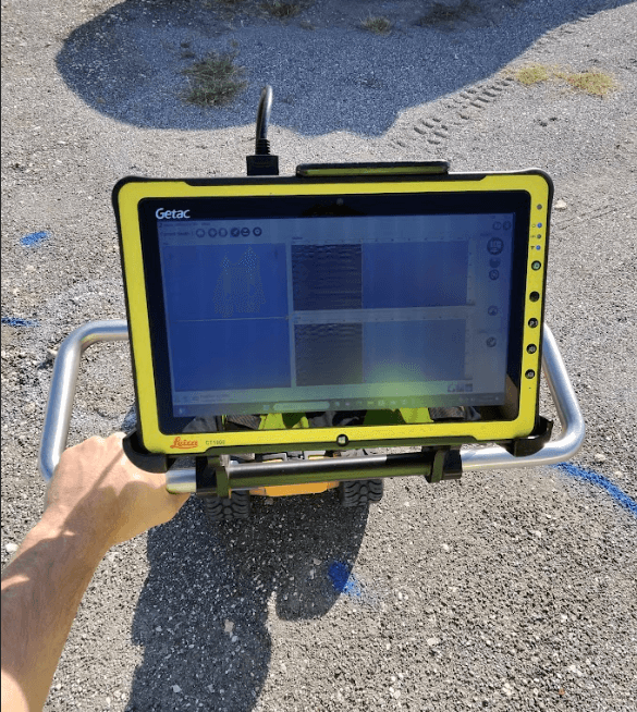
A utility mapping project usually begins with a utility investigation. Technicians review available records, inspect the site, perform locating activities, and identify known or suspected utilities within the project area. GPR investigations may also be used when additional subsurface information is needed.
GPR can help investigate utility corridors, buried targets, trench lines, and other underground anomalies that may affect construction planning. GPR has limitations. Soil conditions, moisture, depth, utility material, surface conditions, and underground congestion can affect results. GPR does not guarantee that every underground utility will be identified. The most reliable utility investigations combine multiple methods rather than relying on a single technology.
Need utility mapping before construction? SiteTwin performs private utility locating, GPR scanning, and underground utility investigations for contractors and property owners across Texas. SiteTwin | Request A Locate
Utility Mapping Deliverables
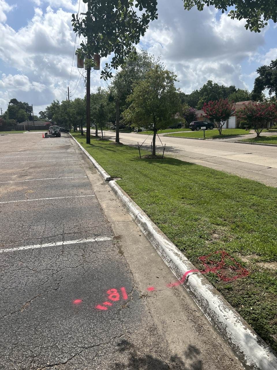
Depending on project scope, utility mapping deliverables may include:
- Utility paint markings
- Site photos
- PDF utility maps
- KMZ exports
- GIS-compatible utility mapping
- Utility conflict notes
- Potholing recommendations
These deliverables help contractors, engineers, project managers, and owners work from the same information throughout the project lifecycle.
Why Potholing May Still Be Needed
Utility mapping provides valuable planning information, but it does not replace physical verification. When excavation risk is high, potholing or daylighting should be used to verify utility depth, location, and type before mechanical excavation continues through a conflict area.
This is especially important before:
- Directional boring
- Deep excavation
- Utility tie-ins
- Gas crossings
- Power crossings
- Fiber crossings
- Congested utility corridors
Mapping helps identify potential conflicts. Potholing confirms what is actually underground. Both play important roles in excavation risk reduction.
Texas Construction Projects
Utility mapping is commonly used across Texas for commercial, industrial, municipal, educational, and infrastructure projects.
SiteTwin | Check Out Our Service Locations
As sites are developed, expanded, and redeveloped, utility conditions often become more complex. Utility mapping helps project teams organize and document underground utility information before construction begins. You can also view our service locations.
Underground Utility Mapping FAQ
What is underground utility mapping?
Underground utility mapping is the process of documenting utility locations and investigation findings to support construction planning and excavation activities.
How is utility mapping created?
Utility mapping is typically developed using records review, field inspections, EM locating, GPR investigations, and utility documentation.
What deliverables are included with utility mapping?
Deliverables may include PDF utility maps, KMZ exports, GIS-compatible mapping, site photos, utility markings, and conflict notes.
Can utility mapping replace potholing?
No. When excavation risk is high, potholing should be used to physically verify utility depth, location, and type.
Is utility mapping useful for future projects?
Yes. Utility mapping can provide documentation that helps support future maintenance, renovations, expansions, and excavation activities.
Document the Utilities Before You Build
Before excavation or construction begins, make sure utility information is documented and accessible.
Underground utility mapping helps contractors, engineers, and project owners make better decisions using current field information.