
How Deep Can Ground Penetrating Radar See?
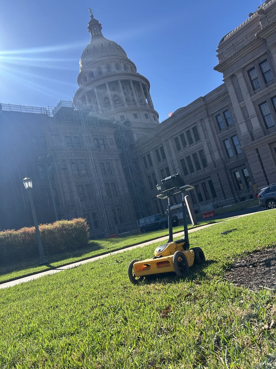
Ground penetrating radar depth depends on the antenna and the ground. GSSI's published ranges run from about 1 foot for a 2600 MHz antenna to about 12 feet for a 400 MHz antenna, but in heavy clay, penetration can drop to a few feet or less.
So GPR depth is a range, and the soil under your site decides where in that range you land. Here is how each factor works.
Depth by antenna frequency
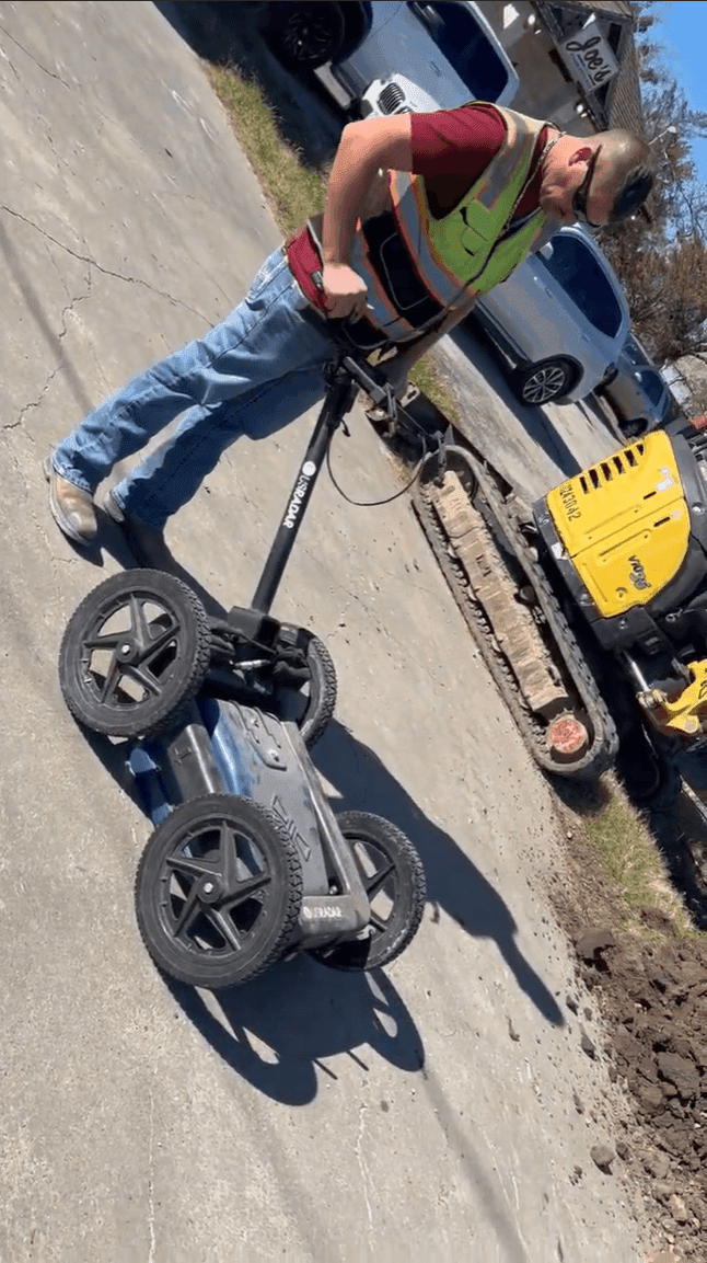
GPR sends a radar pulse into the ground and records the reflections. The antenna's center frequency sets the trade-off: higher frequencies show finer detail at shallow depths, and lower frequencies reach deeper with less detail. Our GPR utility scanning explainer covers the basics. GSSI, one of the major GPR manufacturers, publishes these approximate depth ranges:
- 2600 MHz: 0 to about 1 foot
- 1600 MHz: 0 to about 1.5 feet
- 900 MHz: 0 to about 3 feet
- 400 MHz: 0 to about 12 feet
- 270 MHz: 0 to about 18 feet
- 200 MHz: 0 to about 30 feet
- 100 MHz: 0 to about 90 feet
Concrete scanners sit at the high-frequency end of that list. Utility locating usually runs in the middle, where the antenna still resolves a pipe but reaches typical burial depths.
Treat those as best-case figures. They describe what the antenna can do in ground that lets the signal through, and clay ground often does not.
Soil decides how much of that range you get
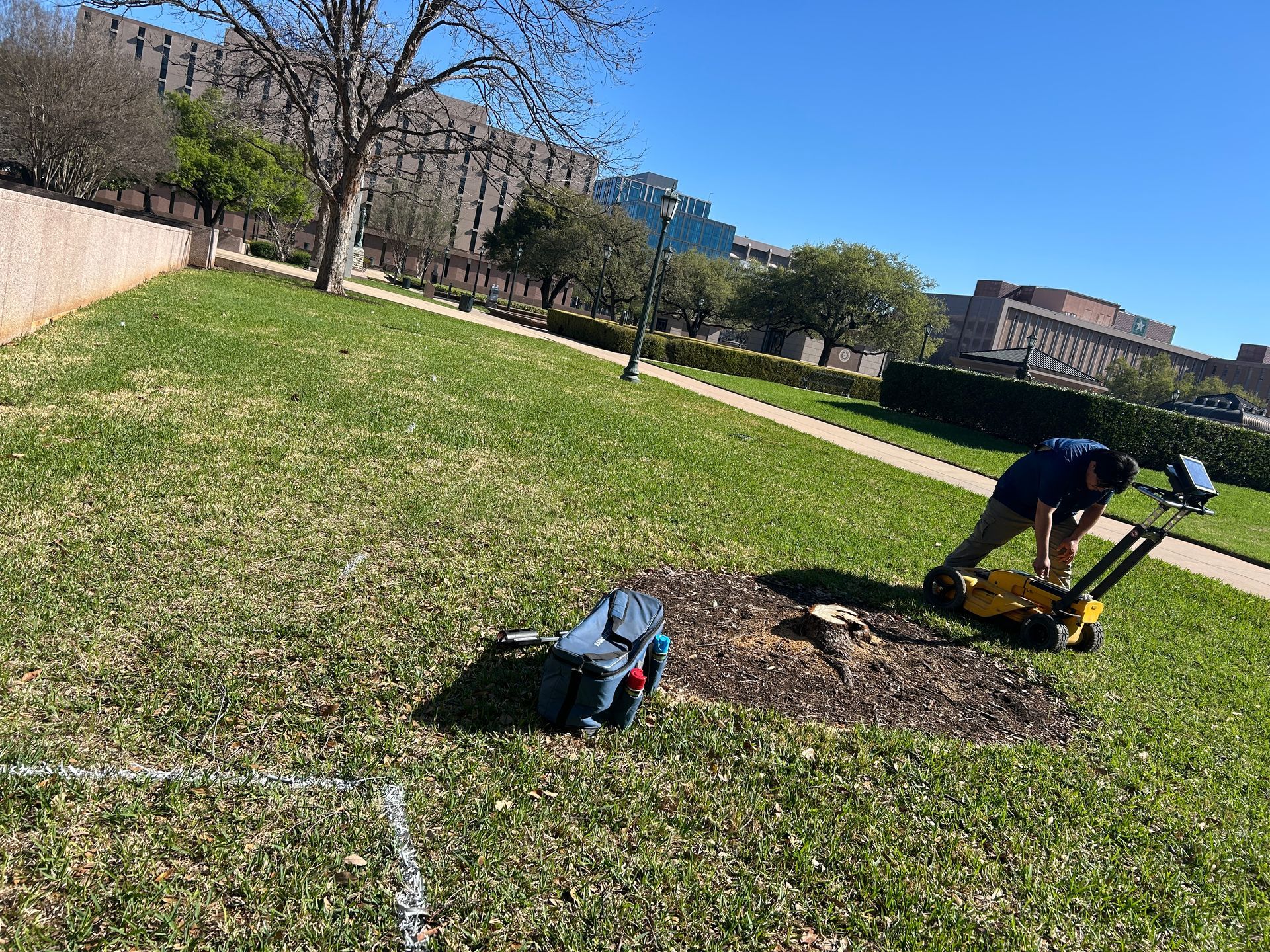
Radar energy dies off quickly in electrically conductive ground. GSSI puts it plainly: "Materials with high conductivity will attenuate the signal rapidly." Clay, salt, and moisture all raise conductivity.
The gap is large. USDA researchers who mapped GPR performance across U.S. soils found penetration depths of 5 to 30 meters in dry, sandy soils, against an average of only about 50 centimeters, under 2 feet, in wet clayey soils. GSSI's own support guidance says penetration "may be limited to a few feet or less within clays."
That matters in Texas. Houston Black, the classic shrink-swell clay of the Blackland Prairie, is a smectitic clay, and the same USDA research singles out smectitic clays as especially hard on radar signals. Moisture makes it worse, so the same yard can scan differently after a week of rain than in a dry spell.
You can check your own site before a scan. The USDA's free Web Soil Survey includes a GPR penetration rating for mapped soils, under Soil Data Explorer, then Suitabilities and Limitations for Use, then Land Management. Treat it as a planning guide. The USDA researchers behind it note that on-site investigation is still needed to confirm it.
Target size and material matter too
A reflection only shows up when the target is different enough from the soil around it. Metal pipe gives a strong return. Plastic is harder. The Federal Highway Administration notes that PVC has a dielectric constant close to typical soils, so "the signal response from the pipe may be relatively weak or indistinguishable."
Size and direction count as well. Small-diameter pipe may not reflect enough energy to detect at depth, and GPR picks up pipes best when it crosses them at a right angle. That is why a scan is run as a grid or a series of passes across the expected route.
Small sprinkler laterals are a good example of a hard target, which is why tracing their valve wire usually works better, as we cover in How to Find Sprinkler Lines. Fiber conduit with a broken or missing tracer wire is another, covered in How Deep Is Fiber Optic Cable Buried?
How accurate are GPR depth readings?
GPR measures time. The unit records how long each reflection takes to come back, then converts that time to depth using an estimate of how fast the signal travels through that particular ground. When that speed is calibrated on site, depth estimates are useful for planning. When it is off, every depth on the screen is off with it.
For any crossing where a few inches matter, such as a directional bore under an active line, expose the line and measure it. Our vacuum excavation and potholing service handles that verification.
How deep can GPR see into concrete?
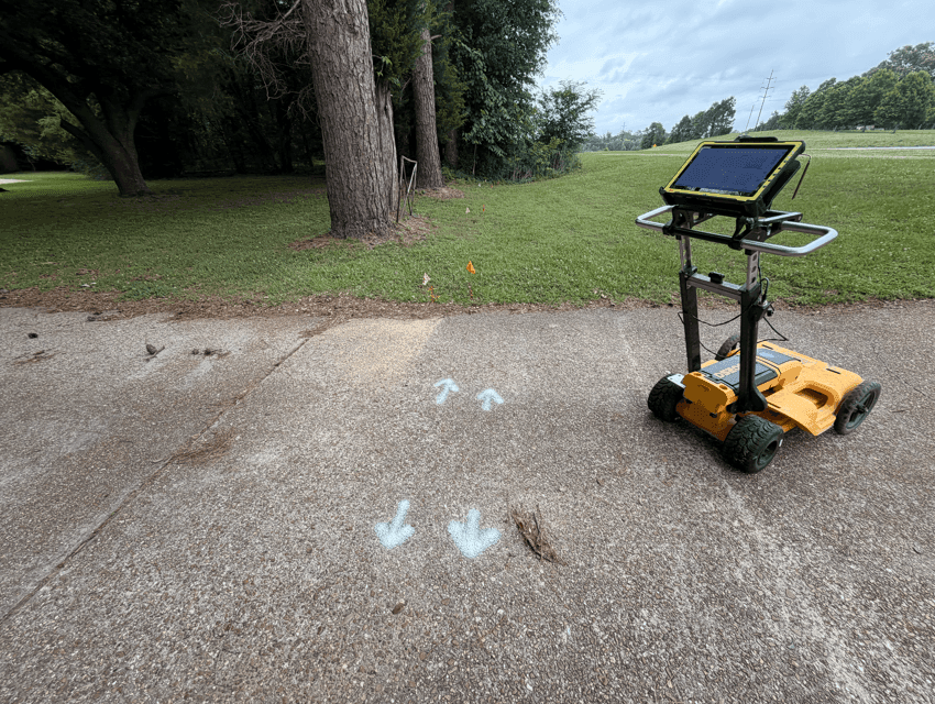
Concrete scanners use the high-frequency end of the range, built for detail over depth. Published maximums for common handheld units run from about 12 inches for the Hilti PS 1000 X-Scan to 24 inches for the GSSI StructureScan Mini XT, and site conditions affect what a given slab allows.
That depth covers most of what matters in a typical slab: rebar, post-tension tendons, and embedded conduit. Our post on post-tension slabs explains why scanning comes before any coring or cutting, and our concrete scanning page covers the service. For pricing, see our breakdown of concrete scanning costs.
When GPR is not enough on its own
In heavy clay, or when the target is small plastic pipe, GPR alone can come up short. That is why we pair it with electromagnetic locating, which follows the signal on conductive lines and tracer wire, and with sondes pushed through pipes that have access points. We cover how the two methods split the work in EM Locating vs GPR Scanning.
Quick answers
How deep can ground penetrating radar see?
From about 1 foot with high-frequency antennas to tens of feet with low-frequency antennas in favorable ground. Utility antennas around 400 MHz are rated to about 12 feet, and clay can cut that to a few feet or less.
Does GPR work in clay?
It works, with much less depth. Wet clay averages only about 50 centimeters of penetration in USDA research, so expect shallower results and plan to combine methods.
Can GPR detect PVC pipe?
Often, but less reliably than metal. PVC's electrical properties are close to soil's, so the reflection can be weak, especially for small pipe or in wet clay.
Can GPR see through concrete?
Yes. Common handheld concrete scanners are rated for about 12 to 24 inches, enough to map rebar, post-tension cables, and conduit in most slabs before drilling.
If you need a site or slab scanned in Texas and want to know up front what GPR can and cannot see on your ground, get in touch, or read more about our GPR scanning service. We work across Texas, including Austin, San Antonio, Waco, and Corpus Christi.